Appalachian Trail: Caribou Valley Road to ME 16
Appalachian Trail: Caribou Valley Road to ME 16
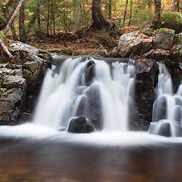
Put your lungs and quads to the test on this 7.5-mile summit climb that crests South Crocker and North Crocker mountains--two 4,000-foot peaks with five-star views.
Heading out the door? Read this article on the new Outside+ app available now on iOS devices for members! Download the app.
Shelters: None
Trail Facts
- Distance: 12.1
Waypoints
WPT013
Location: 45.0470504760742, -70.3827362060547
North Crocker Mountain
ZZZ015
Location: 45.1036338806152, -70.3567504882812
AT crosses parking road slightly to the L and then across ME 27. Ahead, lots of elevation, but views are worth it
ZZZ010
Location: 45.0395317077637, -70.3446197509766
Caribou Valley Rd.; park in pullouts on side of road
WPT011
Location: 45.0407485961914, -70.3596496582031
Trail to Crocker Cirque campsite (.2 mi.); water
WPT014
Location: 45.0815162658691, -70.3737182617188
Small stream
WPT012
Location: 45.0365333557129, -70.3755645751953
South Crocker Mtn.