Appalachian Trail: Gravel Springs Gap to US 522
Appalachian Trail: Gravel Springs Gap to US 522
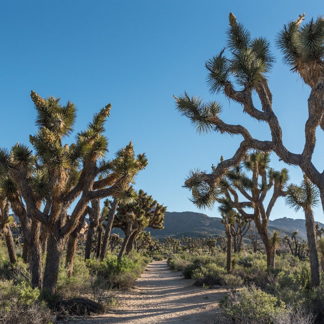
Travel through white ash and yellow poplar, skid down steep ridges, and sing Hallelujah at the scenic outposts on this 12.3-mile leg in Shenandoah National Park.
Heading out the door? Read this article on the new Outside+ app available now on iOS devices for members! Download the app.
Shelters: Tom Floyd Wayside; sleeps 6.
Trail Facts
- Distance: 19.7
Waypoints
WPT019
Location: 38.8509826660156, -78.1636352539062
Trail to campsite (room for 1 tent)
WPT019
Location: 38.7751655578613, -78.2053298950195
Views
WPT018
Location: 38.776050567627, -78.20263671875
N. Marshall
WPT020
Location: 38.774715423584, -78.2070159912109
Viewpoint
WPT021
Location: 38.7740516662598, -78.2077484130859
Monolith
WPT021
Location: 38.8503494262695, -78.1636505126953
Tom Floyd Wayside Shelter
WPT016
Location: 38.8070678710938, -78.181770324707
Jenkins Gap Trail
WPT017
Location: 38.7901000976562, -78.1884002685547
SD 14.2
WPT018
Location: 38.8514823913574, -78.163948059082
Trail to spring
WPT027
Location: 38.7678985595703, -78.2334518432617
SD 17.7; parking
WPT026
Location: 38.7680511474609, -78.2332534790039
Gravel Springs Gap: AT turns E; Browntown Trail
WPT023
Location: 38.7749824523926, -78.2117691040039
SD 15.9
WPT022
Location: 38.7749481201172, -78.2106018066406
Parking area
WPT025
Location: 38.7707328796387, -78.2238845825195
Views
WPT024
Location: 38.7719917297363, -78.2198181152344
S. Marshall
WPT006
Location: 38.8464660644531, -78.1604995727539
Kiosk and registration
WPT005
Location: 38.8780326843262, -78.1506652832031
US 522
WPT005
Location: 38.8461151123047, -78.1617813110352
Shenandoah NP boundary
WPT007
Location: 38.8723335266113, -78.1544189453125
Fence and zoo
WPT006
Location: 38.8775329589844, -78.1509704589844
Water
WPT002
Location: 38.8505325317383, -78.1633987426758
Blue blaze to shelter
WPT004
Location: 38.8459663391113, -78.1621017456055
Possums Rest Overlook with views to the WNW
WPT003
Location: 38.8464736938477, -78.1644287109375
Jeep road and telephone line
WPT012
Location: 38.8184814453125, -78.1755523681641
Compton Peak. Trail to viewpoints (.2 mi.)
WPT011
Location: 38.8236236572266, -78.1704330444336
SD 10.4
WPT011
Location: 38.859733581543, -78.1655654907226
Telephone line
WPT012
Location: 38.8572654724121, -78.1666488647461
Blue blaze
WPT014
Location: 38.8522262573242, -78.1647644042969
Blue-blazed trail leads to spring
WPT014
Location: 38.816650390625, -78.1775665283203
Compton Spring
WPT013
Location: 38.8525009155273, -78.1651000976562
Blue-blazed trail leads to Harmony Hollow trailhead parking
WPT008
Location: 38.8314170837402, -78.1678466796875
Pass road
WPT009
Location: 38.8273010253906, -78.1695022583008
Pass blue-blazed Dickey Ridge Trail
WPT007
Location: 38.8453559875488, -78.1589508056641
AT turns W @ jct. with Compton Gap Trail (yellow blaze)
WPT008
Location: 38.8640823364258, -78.1624984741211
Gravel road leads to 4-H swimming pool
WPT010
Location: 38.8616981506348, -78.1644134521484
Stream crossing
WPT009
Location: 38.8637161254883, -78.1628189086914
Stream crossing
WPT010
Location: 38.824462890625, -78.1704635620117
Compton Gap trailhead
DSCF2118
Location: 38.7973327636719, -78.182746887207