Appalachian Trail: Woody Gap to Neels Gap
Appalachian Trail: Woody Gap to Neels Gap
The hotspot on this 9.8-mile section is Blood Mountain, a 4,450-foot peak where historic battles between the Creek and Cherokee Indians stained the ground red.
Heading out the door? Read this article on the new Outside+ app available now on iOS devices for members! Download the app.
Shelters: Wood’s Hole Shelter: sleeps 7; privy. Blood Mtn. Shelter: sleeps 8; no privy.


Trail Facts
- Distance: 15.7
Waypoints
WPT011
Location: 34.7391662597656, -83.9365310668945
Campsite (room for 1 tent)
WPT014
Location: 34.7419013977051, -83.9410018920898
Blue-blazed Duncan Ridge Trail leads W
WPT029
Location: 34.7016830444336, -83.9870834350586
Campsite (room for 2 tents)
WPT019
Location: 34.7373008728027, -83.9482650756836
Blue-blazed trail leads W for .4 mi. to Woods Hole Shelter
WPT036
Location: 34.6873168945312, -83.9940643310547
Dome Rock; views to the SE
WPT020
Location: 34.7306327819824, -83.9569854736328
Horsebone Gap
WPT017
Location: 34.7407150268555, -83.9441833496094
AT switchbacks W @ jct. with blue-blazed Slaughter Creek Trail to the E
WPT031
Location: 34.6989517211914, -83.9887466430664
Dan Gap
ZZZ003
Location: 34.6776161193848, -84.000129699707
Woody Gap; parking; trash; picnic tables; restrooms; views to the S
WPT037
Location: 34.6852684020996, -83.9954681396484
Lunsford Gap; side trail to the E
WPT033
Location: 34.6938018798828, -83.9912033081055
Blue-blazed trail leads E
WPT009
Location: 34.7376518249512, -83.9362030029297
Campsite (room for 1 tent)
WPT025
Location: 34.7157821655273, -83.9804000854492
Side trail to the W
WPT027
Location: 34.7074012756348, -83.9852828979492
Stream crossing @ Miller Gap
WPT007
Location: 34.7348518371582, -83.9363021850586
Views to the S
WPT022
Location: 34.723934173584, -83.968879699707
Traverse N slopes of Burnett Field Mtn.
WPT016
Location: 34.7401351928711, -83.9449996948242
Side trail to the E to Slaughter Creek Campsite
WPT004
Location: 34.7355842590332, -83.9281845092774
Flatrock Gap. Jct. with Byron Reece Trail and Freeman Trail. Views to the SSW
WPT034
Location: 34.6918487548828, -83.9924011230469
Summit ridge of Big Cedar Mtn.; side trail to the E
WPT026
Location: 34.708065032959, -83.9850006103516
Campsite (room for 6 tents)
WPT012
Location: 34.7396659851074, -83.9369812011719
Blood Mtn.
WPT018
Location: 34.7377662658691, -83.9478988647461
Bird Gap; blue-blazed Freeman Trail leads E; campsite (room for 4 tents)
WPT010
Location: 34.7382507324219, -83.9362487792969
Views to the WSW; pass rock slab
WPT006
Location: 34.7379150390625, -83.9318695068359
Views to the E of Levelland Mtn.
WPT028
Location: 34.7035331726074, -83.9852676391602
Side trail to the E to Dockery Lake Campground; campsite (room for 4 tents)
WPT013
Location: 34.7400321960449, -83.9373321533203
Blood Mtn. Shelter
WPT021
Location: 34.7267990112305, -83.9647827148438
Jarrard Gap; campsite (room for 8 tents); gravel road heads W to Lake Winfield Scott (1.2 mi.)
WPT030
Location: 34.700065612793, -83.9868469238281
Granny Top
WPT038
Location: 34.6781349182129, -83.9995498657226
Side trail to the W to water
ZZZ004
Location: 34.7351684570312, -83.9175491333008
Neels Gap: Walk through Mountain Crossings @ Walasi-Yi, a small, stone building built in 1934 by the CCC (the only spot where the AT passes through a man-made structure). Mail-drop, hostels, and cabins available here. Staff will evaluate your pack and ship back any unwanted gear
WPT024
Location: 34.7158660888672, -83.9800186157226
Henry Gap NW
WPT023
Location: 34.7156181335449, -83.977668762207
Views to the SSW; rocky
WPT032
Location: 34.6939506530762, -83.9912185668945
Side trail to the W
WPT002
Location: 34.7353668212891, -83.9181137084961
Cross US 19/US 129
WPT005
Location: 34.7379493713379, -83.9318313598633
Good bouldering next to AT
WPT035
Location: 34.6893005371094, -83.9931030273438
Trail crests Big Cedar Mtn.
WPT015
Location: 34.7397651672363, -83.9447631835938
Side trail to the E to Slaughter Creek Campsite
WPT008
Location: 34.7370681762695, -83.9362030029297
Rock slab. 180-degree views to the S
WPT003
Location: 34.7351837158203, -83.9271850585938
Boulders
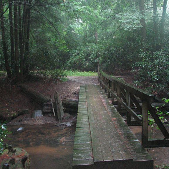
IMG_6033
Location: 34.7400016784668, -83.9373016357422
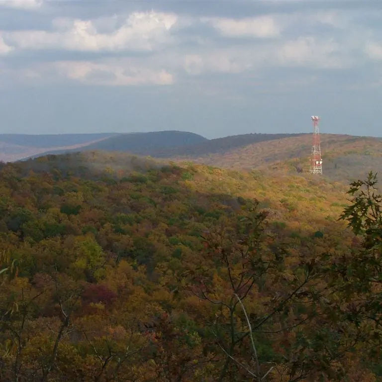
IMG_5922
Location: 34.7351837158203, -83.9178161621094
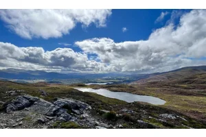
IMG_5923
Location: 34.7351837158203, -83.9178161621094
IMG_6030
Location: 34.7400016784668, -83.9373016357422
IMG_5944
Location: 34.7351837158203, -83.927131652832