Denver, CO: Enchanted Forest
Denver, CO: Enchanted Forest
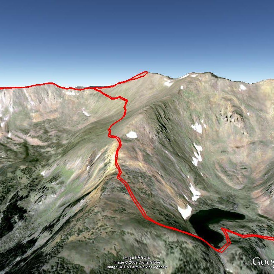
An invigorating climb at the base of Lookout Mountain, this 5.4-mile lollipop loop follows a bustling creek into a forest thick with trees and elk.
Heading out the door? Read this article on the new Outside+ app available now on iOS devices for members! Download the app.
Just a few miles from downtown Denver, this easy-access trail begins with a long, steady climb and rewards with a wandering forest path and views of the nearby city. The trailhead in the Heritage Square parking area is marked by scraggly cottonwood, but after a short, shaded section (past an alternate trailhead), the trail opens until reaching Apex Gulch.
Follow the creek and tuck below lichen-covered outcroppings for 1.7 miles before turning left for a 2-mile loop that begins with a footbridge and a steep climb. Cruise through the thick and tranquil Enchanted Forest—watch for herds of elk moving through the trees or listen for bugling in the fall—before merging back onto the Apex Trail near mile 2.9. The route finishes with an easy descent back into Apex Gulch and offers city views on the way back to the trailhead.
Note: The Apex Trail and others in the area are open to hikers, bikers, and horses, so watch for trail traffic, especially headed uphill into the canyon where a few corners cut down visibility and make fast-moving cyclists hard to spot.
-Mapped by Jeff and Michele Hendrick


Trail Facts
- Distance: 8.7
Waypoints
ENC001
Location: 39.7161, -105.209949
Start at the lower trailhead where there’s a map, toilet, picnic tables and plenty of free parking.
ENC002
Location: 39.715541, -105.211081
About 100 yards west of the lower parking area is an alternative trailhead. Though there isn’t a map kiosk here, paper maps are sometimes available alongside the park rules. Follow the trail west and across a small bridge just ahead.
ENC003
Location: 39.715803, -105.21136
Turn left at the 3-way junction onto the Apex Trail.
ENC004
Location: 39.713889, -105.214904
This trail follows the path of the Apex and Gregory Wagon roads, early routes to the gold fields of Central City (then known as the Gregory Diggings).
ENC005
Location: 39.712129, -105.218348
Watch for mountain bikers headed downhill on this wooded stretch of the trail above the creek.
ENC006
Location: 39.712126, -105.219229
Stay straight at this 3-way junction on the Apex Trail.
ENC007
Location: 39.710859, -105.226664
You’ll have climbed more than 500 feet when you pass this Open Space boundary marker just past mile 1.
ENC008
Location: 39.713758, -105.230374
Continue straight at 3-way junction with the Sluice Box Trail. Look north for a peek at gulch-top houses before the trail ducks into the woods.
ENC009
Location: 39.714349, -105.234234
Cross the wooden bridge to enter the Enchanted Forest. A rock path begins the steep climb through the trees.
ENC010
Location: 39.712034, -105.235151
The trail winds along the hillside and dips down to a tiny footbridge.
ENC011
Location: 39.713164, -105.238759
The trail leaves the forest briefly and skirts a property line fence below several private residences.
ENC012
Location: 39.717322, -105.248302
At mile 2.9, the Enchanted Forest Trail tops out and re-joins the Apex Trail. Go straight at the 3-way junction, heading back downhill and into Apex Gulch. Turning left here heads uphill toward Lookout Mountain.
ENC013
Location: 39.717481, -105.247739
This sign and bridge near the western edge of the route marks mile 3 and the beginning of the long downhill back toward the trailhead.
Golden
Location: 39.715729, -105.211505
Trailside signs explain the history of the nearby town of Golden, CO.
Trailhead
Location: 39.716139, -105.209836
The map kiosk at the lower trailhead. There are picnic tables and a porta-poti nearby too.
Toilet
Location: 39.716123, -105.209879
Though not luxurious, the lower trailhead has a wheelchair accessible toilet.
Junction
Location: 39.715807, -105.211325
The turnoff for the Apex Trail is an obvious left-hand path.
Climbing
Location: 39.71388, -105.214836
The trail climbs gently uphill from the trailhead toward Apex Gulch.
Trail Sign
Location: 39.712143, -105.219176
The Pitch and Sledge Trail heads uphill, out of the gulch, and gets more direct sunlight. It might be a good choice for winter hiking when the shady Apex Trail can be icy.
Shade
Location: 39.712287, -105.228564
The trail through Apex Gulch is in the shadow of surrounding hillsides.
Forest
Location: 39.71336, -105.234336
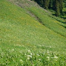
Open understory and dense trees combine for an eerie walk through the Enchanted Forest.
Toll Sign
Location: 39.717493, -105.247692
Signs explain some of the trail’s history as an old toll road.