Fort Collins, CO: Montgomery Pass (Winter Route)
Fort Collins, CO: Montgomery Pass (Winter Route)
Grab your skis or snowshoes to experience this wintry route that climbs past snowy landscapes to Montgomery Pass, a ridge-top lookout in Colorado's Medicine Bow Mountains.
Heading out the door? Read this article on the new Outside+ app available now on iOS devices for members! Download the app.
During winters months, explore the quiet, snow-draped woods of State Forest State Park by skis or by snowshoes. Tucked between Rocky Mountain National Park, Routt National Forest, and the Rawah Wilderness, this rugged and remote state park plays host to a wide variety of winter trails that crisscross the Medicine Bow Mountains and connect a network of eight backcountry yurts.
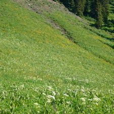
From the winter parking area on CR 41, follow Bockman Road east toward Bockman Campground. Use this level stretch of road to warm up your legs and take in the surrounding scenery—the snowy trail traces an expansive meadow with striking views of the Medicine Bow and Never Summer Mountains. After 1.2, miles, turn right and cross the North Fork Michigan River.
From here, it’s a steady climb to Montgomery Pass Trail, which intersects the road at mile 1.8. Turn left onto Montgomery Pass Trail, and climb past conifers and intermittent meadows to the turn-off for the Montgomery Pass Yurts (reservations required). Continue straight at this junction and keep climbing. Near mile 4, cross a creek flanked by steep banks of snow. Half a mile later, drop your pack and grab a snack in the small meadow that sits at 10,300 feet (it’s another 2.4 miles to Montgomery Pass).
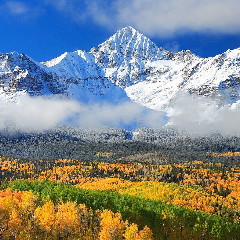
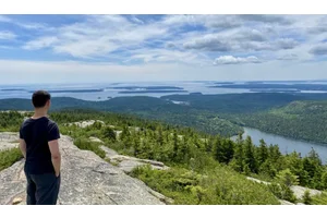
The route crests the Medicine Bow ridgeline at mile 6.2. Hang a right and head south along the spine for the final 0.7-mile stretch to Montgomery Pass. From this broad saddle, you’ll find jaw-dropping views of the Diamond Peaks, the Never Summer Mountains, and the Mummy Range. When you’re ready, turn around and descend back to the trailhead.
Info: Winter recreation in State Forest State Park
-Mapped by Kim Phillips


Trail Facts
- Distance: 22.2
Waypoints
MON001
Location: 40.5589796, -105.9837529
From the winter trailhead on CR 41, follow Bockman Road to Bockman Campground. Use this flat section of trail to take in views of the Medicine Bow and Never Summer Mountains.
MON002
Location: 40.5581237, -105.9658384
Turn right and cross the North Fork Michigan River. At this point, the trail begins a steady climb south to Montgomery Pass Trail.
MON003
Location: 40.5492057, -105.9644222
Turn left @ 3-way onto Montgomery Pass Trail. Continue climbing through snowy forest.
MON004
Location: 40.5543089, -105.9544659
The route passes a meadow dotted with young trees.
MON005
Location: 40.55566, -105.949341
Continue straight @ 3-way junction. To reach the Upper Montgomery Pass Yurt, turn left in the clearing (a parking area in the summer) and follow the skin track to the yurt.
MON006
Location: 40.55608, -105.945834
Continue straight @ 3-way junction. The Ruby Jewel Trail forks off to the left.
MON007
Location: 40.558515, -105.9334266
Cross a tributary creek flanked by steep snow banks.
MON008
Location: 40.5558332, -105.9311521
The trail rounds to the south and winds through snow-draped conifers. Look for small icicles that form on the tips of the boughs.
MON009
Location: 40.5545453, -105.9293604
This small, sheltered clearing is a good place to take a snack break. From here, the route continues heading east.
MON010
Location: 40.5522709, -105.9160674
The path switchbacks to the left. Ahead: Three more switchbacks help break up the climb.
MON011
Location: 40.5515046, -105.9105206
Crest the Medicine Bow ridge, then turn right and head south along the spine.
MON012
Location: 40.542774, -105.9067529
Montgomery Pass: This broad pass offers breathtaking views of the Mummy Range, the Never Summers, and the Medicine Bow Mountains. Follow the same route back to the trailhead.
Views near Montgomery Pass
Location: 40.5528252, -105.915488
Bockman Road Trailhead
Location: 40.5589918, -105.9836429
Skiers on Bockman Road
Location: 40.5592751, -105.9827176
Skin Track
Location: 40.5593016, -105.982672
Bockman Road
Location: 40.5602919, -105.9810734
Medicine Bow and Never Summer Mountains
Location: 40.5598925, -105.9738207
Skier on Bockman Road
Location: 40.559811, -105.9737188
Views of Medicine Bow and Never Summer Mountains
Location: 40.559661, -105.973212
Scenic stretch along Bockman Road
Location: 40.5595094, -105.9728229
Skier near Bockman Campground
Location: 40.55813, -105.965641
Trail Junction
Location: 40.55813, -105.965641
Trail to Montgomery Pass Yurts
Location: 40.549108, -105.964121
Young Forest
Location: 40.554322, -105.954414
Upper Montgomery Pass Yurt
Location: 40.555662, -105.95018
Upper Montgomery Pass Yurt
Location: 40.555651, -105.950309
Upper Montgomery Pass Yurt
Location: 40.5556376, -105.9503996
Skier on Montgomery Pass Road
Location: 40.559905, -105.939377
Creek Crossing
Location: 40.558558, -105.933856
Skiers on Montgomery Pass Road
Location: 40.5584579, -105.9332764
Icicles
Location: 40.5554256, -105.9310555
Snowy Forest
Location: 40.5527356, -105.9153163
Skier near Montgomery Pass
Location: 40.5528008, -105.9151018
Skiing Montgomery Pass Road
Location: 40.5571945, -105.9430718