Grand Junction, CO: Crag Crest National Recreation Trail
Grand Junction, CO: Crag Crest National Recreation Trail
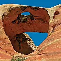
Discover a wonderland of sparkling lakes, rolling meadows and spiny ridges on this 9.5-mile loop through Colorado’s magnificent Grand Mesa.
Heading out the door? Read this article on the new Outside+ app available now on iOS devices for members! Download the app.

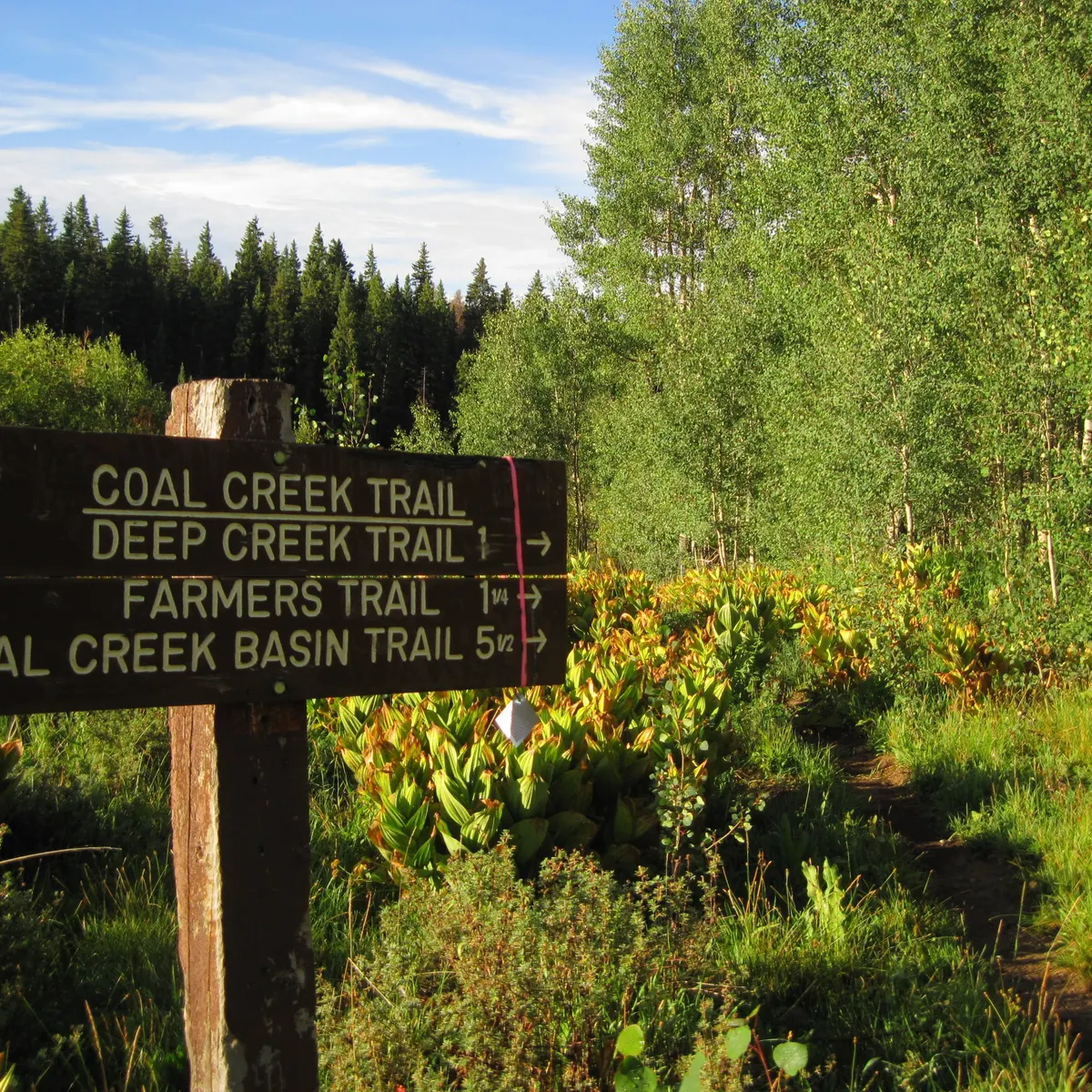
Climb to the highest point of the 500-square-mile Grand Mesa – the largest such landform in the world – and traverse through pine forests and wildflower-dotted meadows on this 9.5-mile loop through Grand Mesa National Forest. The counterclockwise route described here begins at the east trailhead near Eggleston Lake, but the trail can also be accessed from the west trailhead near mile marker 27 on CO 65. From Eggleston Lake, head north and bear right at the Y-junction at mile 0.2 to head past the western banks of Upper Eggleston Lake. Continue uphill at a mild grade before hitting the precipitous ascent (500 feet in 0.6 mile) to the Crag Crest ridgeline.
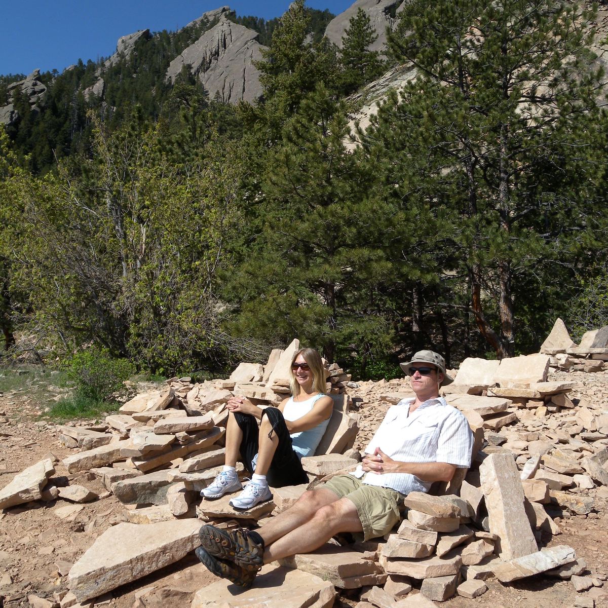
Traverse the Crest’s rocky, sometimes knife-edge spine while enjoying limitless 360-degree panoramas of the surrounding mountain country: the San Miguel, La Plata, San Juan, West Elk and La Sal ranges are all visible. After reaching the Crests’s high point (11,189 feet), continue heading west until hitting a 2.1-mile downhill just before mile 4. At waypoint 6, you’ll reach the junction for the west trailhead. Bear left to begin the trail’s lower section, which swings between thick forests of pine and aspen and bustling meadows of larkspur and bluebell. The grade from here is easy as you round out the remaining four miles to Eggleston Lake.
It is recommended that you complete the Crest portion of the hike in the morning to avoid afternoon thunderstorms. Visit the National Forest Service’s Web site for more information and a map of Crag Crest National Recreation Trail.
-Mapped and photographed by Chris Hood
Permit none ContactGrand Mesa National Forest