Hattiesburg, MS: Tuxachanie Trail
Hattiesburg, MS: Tuxachanie Trail
Roll through remote longleaf pine forests en route to a fish-filled lake on this section hike along the Tuxachanie Trail, a 23-mile long trail in southern Mississippi.
Heading out the door? Read this article on the new Outside+ app available now on iOS devices for members! Download the app.
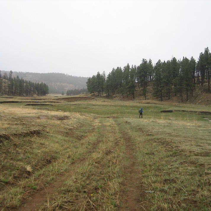
Sample a portion of the Tuxachanie Trail on this 14-mile out-and-back that rolls through De Soto National Forest, passing stands of longleaf pines and bottomland hardwoods. From the parking area, follow the Tuxachanie Trail along the northern shore of Airey Lake. The trail snakes to the southeast for the first 0.8 mile before it rounds to the east along Tuxachanie Creek. On blue sky days, sunlight bathes the longleaf pine forest in a golden glow. After 3.2 miles, the path skirts a duck pond and bends to the east. One mile later, it travels past a picnic table shaded by pines (a good spot to take a break). Keep your eyes peeled for red-tailed and red-shouldered hawks soaring overhead. At mile 5.6, cross Tuxachanie Creek and wind through forest damaged by Hurricane Katrina—you’ll catch occasional views of Tuxachanie Creek’s dark green waters. Seven miles into the hike, drop your pack and relax by a fish-filled lake ringed by pines. Return to the trailhead following the same route.
Information: Trails of the De Soto National Forest
-Mapped by Marcus Woolf


Trail Facts
- Distance: 22.5
Waypoints
TUX001
Location: 30.6890483, -89.0610874
From the parking area, follow Tuxachanie Trail (marked with white diamond blazes) along the northern shore of 3-acre Airey Lake. The trail winds past longleaf pines, which were once abundant in the South, but are now rare due to 150 years of logging.
TUX002
Location: 30.6860589, -89.0545535
Turn right and head south. In 800 feet, the trail passes Copeland Spring (named for James Copeland, the outlaw leader of the Copeland Clan).
TUX003
Location: 30.6855515, -89.0525794
The route curves to the southeast and continues its descent.
TUX004
Location: 30.6852101, -89.0471613
Continue straight @ 4-way junction with Jeep road, traveling southeast.
TUX005
Location: 30.6855145, -89.0370333
Tuxachanie Creek flows near the trail. The forest on the right transitions from pines to dense bottomland hardwoods, including cypress and beech.
TUX006
Location: 30.6814086, -89.030478
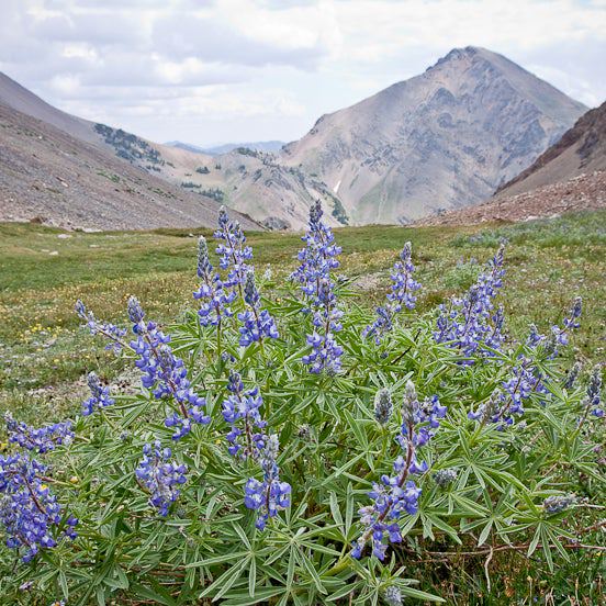
On blue sky days, sunlight bathes the longleaf pine forest (thinned by controlled burns) in a golden glow. The longleaf’s thin and limbless trunks (topped with green plumes) spread out across the rolling terrain.
TUX007
Location: 30.674525, -89.0271628
Here, the trail skirts a duck pond and then bends to the east.
TUX008
Location: 30.6744881, -89.0257788
Enter a clearing and turn left @ T-junction.
TUX009
Location: 30.675233, -89.024768
Bear right @ Y-junction. In 375 feet, the path rounds to the south.
TUX010
Location: 30.6684161, -89.020983
Bear right @ Y-junction and hike south, following white diamond blazes. (The horse trail on the left is marked with green arrows on white diamonds.)
TUX011
Location: 30.666361, -89.020599
A good rest spot: Pines shade this small clearing and picnic table. Keep your eyes peeled for red-tailed and red-shouldered hawks soaring overhead.
TUX012
Location: 30.6533453, -89.0065742
Cross Tuxachanie Creek and wind through forest damaged by Hurricane Katrina. You’ll catch occasional views of Tuxachanie Creek’s dark green waters.
TUX013
Location: 30.641564, -89.002549
Bear right @ Y-junction and travel southwest.
TUX014
Location: 30.638986, -89.0037
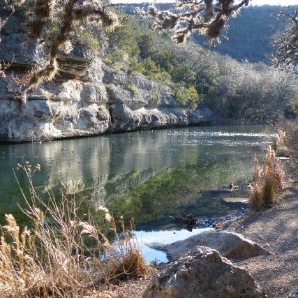
Drop your packs at the fish-filled lake ringed by pines. (This area was once a World War II POW camp.) Relax on the grassy banks before retracing your steps to the trailhead.
Lake
Location: 30.6389644, -89.0035915
Boardwalk
Location: 30.6857544, -89.0348554