Minneapolis, MN: Cowling Arboretum
Minneapolis, MN: Cowling Arboretum
Restorations-in-progress add an educational twist to this easy, 2.6-mile hike outside of Minneapolis in Carleton College's Cowling Arboretum.
Heading out the door? Read this article on the new Outside+ app available now on iOS devices for members! Download the app.
Just 35 miles south of Minnesota, the college town of Northfield is the setting for this 2.6-mile lollipop loop through “the Arb”—an 880-acre plot owned by Carleton College. Start at a signed trailhead just off of Highway 19 and head north past tennis courts to the banks of the Cannon River. The hard-packed and gravel trail winds along the Cannon River and through quiet lowland meadow before bearing east and climbing 50 feet to a ridge—admire the prairie and oak savanna restoration sites, and views of the surrounding countryside. Stands of bur oak near mile 0.8 are impressive, and during spring and summer watch for bursts of wildflower color. At mile 1.3 you’ll reach the route’s northern terminus and descend from the ridge toward the banks of the Cannon River before closing the loop.
This sampling of spur trails and hidden paths is popular for trail running in the summer and cross-country skiing in the winter, but plan to come back and explore the areas other trails.
-Mapped by Steve Johnson


Trail Facts
- Distance: 4.2
- Miles from city center: 44
Waypoints
COW001
Location: 44.463896, -93.1546778
Begin this loop at the Carleton parking lot on MN 19, just north of the big brick smokestack at the college’s utilities plant.
COW002
Location: 44.4641904, -93.1544822
Just a few steps into the hike you’ll cross Spring Creek, a small stream flowing toward the Cannon River. The trail squeezes between tennis courts and an old conifer plantation before reaching the river up ahead.
COW003
Location: 44.4657783, -93.1542021
The official boundary of the Cowling Arboretum is marked with a kiosk and trail-system map and an engraved boulder dedicating the plot to it’s founders.
COW004
Location: 44.4682826, -93.1520462
Nice views of the Cannon River on this early stretch of the path. Watch for willow leaning over the river and an invasive Siberian elm up ahead.
COW005
Location: 44.4697603, -93.1492782
Half a mile from the trailhead, bear right @ Y-junction, turning uphill and skirting the hillside prairie along its southern edge.
COW006
Location: 44.469743, -93.1476616
Turn left @ T-junction. The Hillside Prairie on your left has been undergoing restoration since 1978 and is an example of the state’s most extensive prairie restoration efforts. The prairie is dominated by native grasses, including big
bluestem, Indiangrass,
and switchgrass.
COW007
Location: 44.4726084, -93.1464028
Take the middle fork @ 4-way junction to continue north past a large grove of bur oak, many the result of diligent oak savanna restoration efforts. The oldest specimens in the Arb are more than 200 years old.
COW008
Location: 44.4782691, -93.1422393
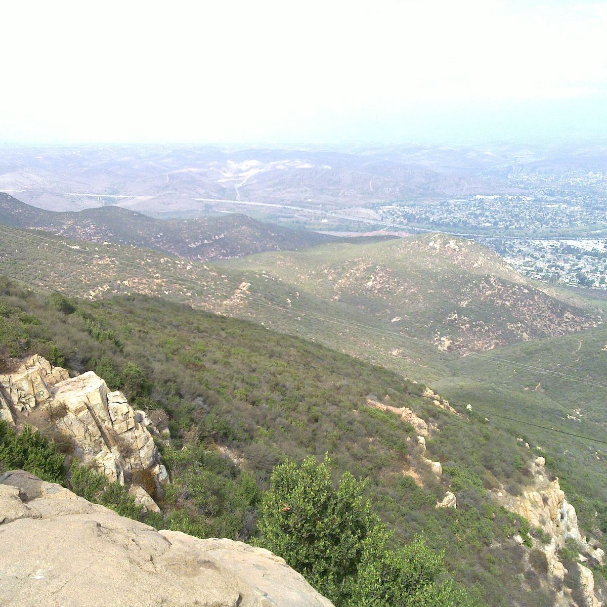
Enjoy a last view of the river and the fringes of Northfield from this high vantage point, before turning left and dropping back down toward the river banks.
COW009
Location: 44.4736653, -93.1467096
The route traces the river’s edge (the hike’s lowest point) near mile 1.7. You’ll cruise a small hill before closing the loop 0.25-mile ahead and backtracking to the trailhead.
COW010
Location: 44.4627926, -93.1538916
Carleton College owns and maintains the arboretum and it’s main campus abuts its southern edge. The campus’ bucolic grounds are also great for a stroll.
Bur Oak
Location: 44.4734199, -93.1457806
This handsome oak stands tall on the hillside. © Steve Johnson
Bridge
Location: 44.4642322, -93.154428
This little, wooden bridge crosses Spring Creek near the start of the hike. © Steve Johnson
Entrance
Location: 44.4657636, -93.154192
This inscription marks the entrance to the arboretum and commemorates the men behind it’s creation in the 1920s. © Steve Johnson
River’s Edge
Location: 44.4679687, -93.152132
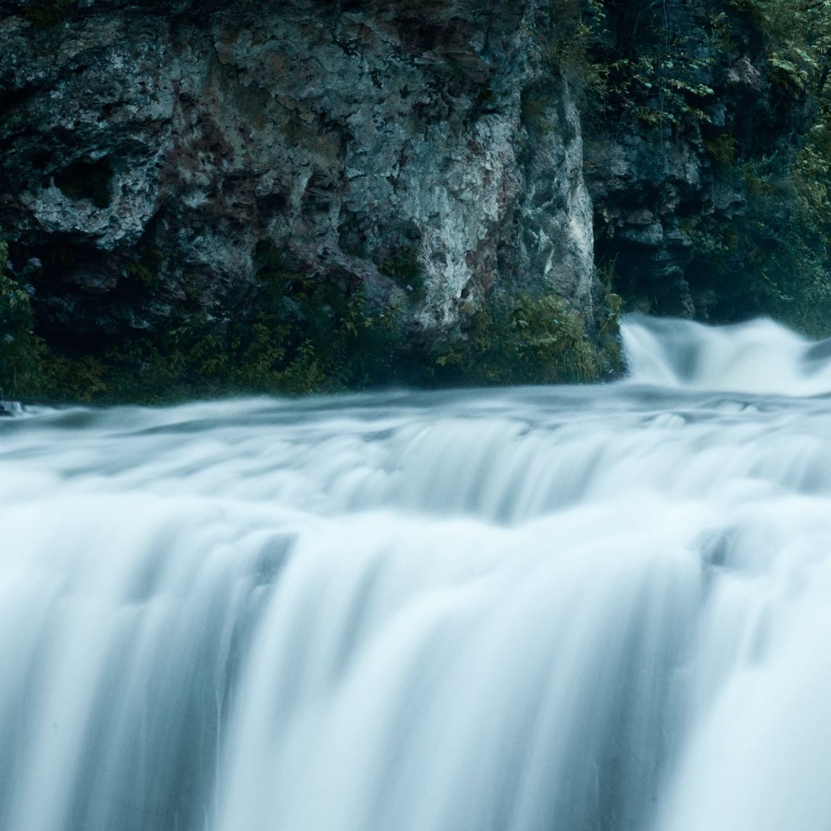
The early trail cruises through floodplain forest along the banks of the Cannon River. © Steve Johnson
Trail
Location: 44.4696837, -93.1502438
The gravel path as it turns east away from the river through a 20-year old floodplain forest. © Steve Johnson
Prairie
Location: 44.46999, -93.147583
Great views here of the prairie restoration as well as distant oak and pine woods. © Steve Johnson
Wind Power
Location: 44.4720878, -93.1467676
Another Carleton-owned landmark, Northfield’s wind turbine, is visible nearly 2 miles to the southeast. © Steve Johnson
River
Location: 44.4735424, -93.1442356
Look downhill for a nice view of the Cannon River. © Steve Johnson
Hiking
Location: 44.4782123, -93.142283
Hiker beginning the descent toward the river. © Steve Johnson