Pittsburgh: Baker Trail
Pittsburgh: Baker Trail
Follow yellow blazes for a 10-mile section across creek-laced woodlands. The route crosses a covered footbridge and is inter- spersed with pastoral vistas along a flat farm road.
Heading out the door? Read this article on the new Outside+ app available now on iOS devices for members! Download the app.
Waypoints
BKT001
Location: 40.715908, -79.506168
Western terminus is on Dam Rd. north of the dam.
BKT002
Location: 40.685064, -79.425917
Western terminus is on Cherry Hill Run Rd.
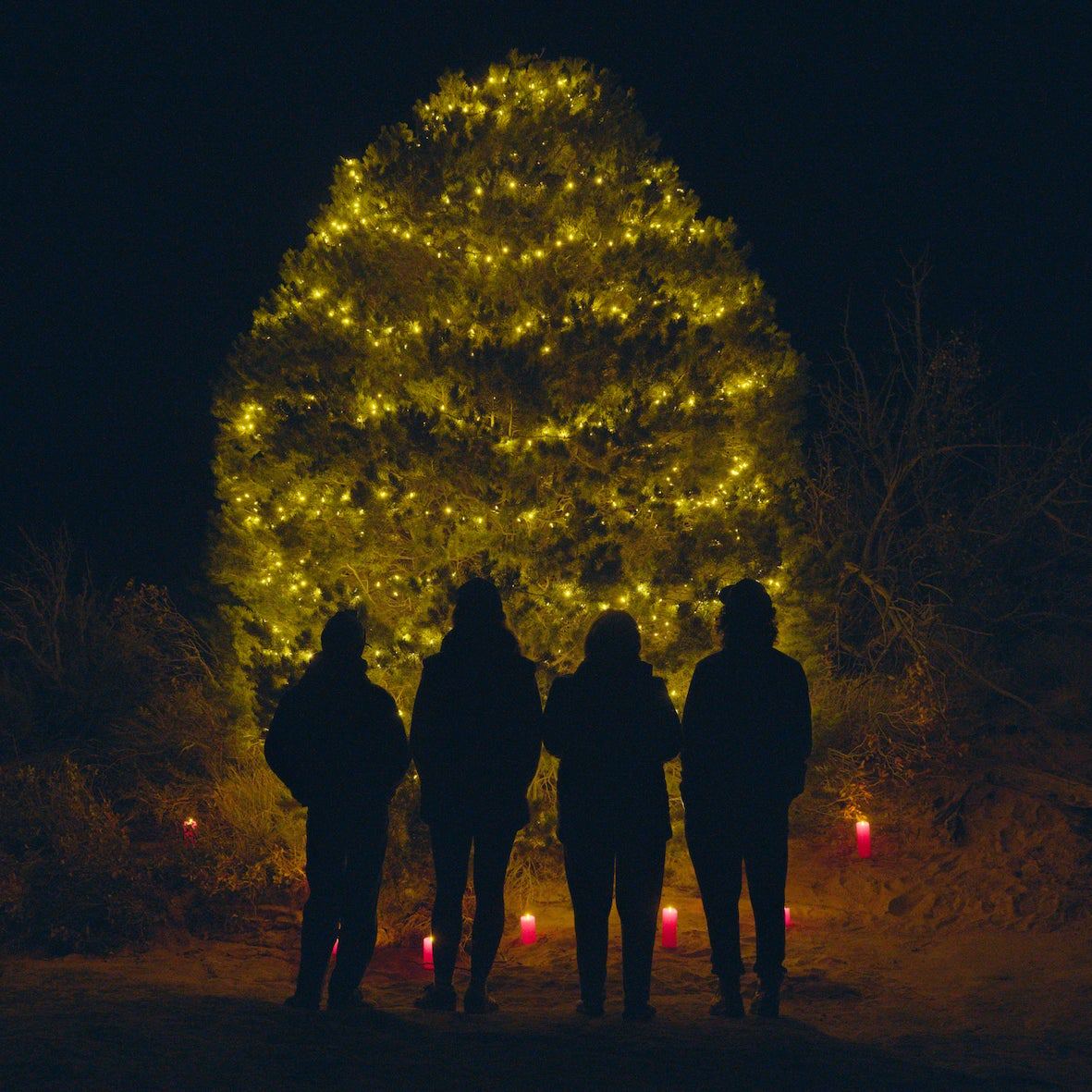
Backcountry Tree Lightings, Cave Caroling, and 5 More Hiker-Friendly Activities for This Holiday Season