Sacramento, CA: Redbud Trail
Sacramento, CA: Redbud Trail
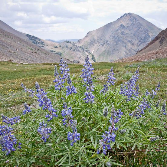
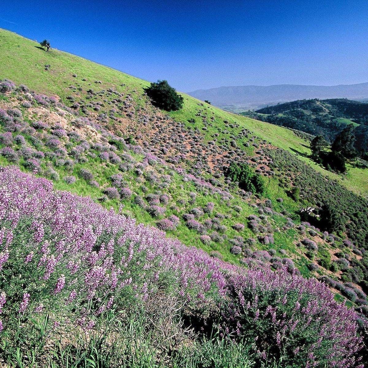
This 8.8-mile out-and-back rolls over oak-dotted hills, drops to the banks of Cache Creek, then climbs to a meadow with picture-perfect views.
Heading out the door? Read this article on the new Outside+ app available now on iOS devices for members! Download the app.
Trail Facts
- Distance: 14.2
Waypoints
RED001
Location: 38.987043, -122.539583
From the trailhead, hike southeast.
RED002
Location: 38.984933, -122.536783
Bear left at Y-junction.
RED003
Location: 38.983065, -122.524853
Turn right at Y-junction and head southeast toward Cache Creek.
RED004
Location: 38.977427, -122.519424
Cross Cache Creek. Caution: Turn around if water levels are too high.
RED005
Location: 38.968735, -122.493975
Cross a tributary stream.
RED006
Location: 38.970053, -122.490864
Hike north along the ridgeline.
RED007
Location: 38.979779, -122.482034
Stop and take in picture-perfect views from this meadow. Turn around and return to the trailhead.