Sawtooth National Forest: Imogene Pass Loop
Sawtooth National Forest: Imogene Pass Loop
Swim, climb, nap, repeat. This Sawtooths trek has it all.
Heading out the door? Read this article on the new Outside+ app available now on iOS devices for members! Download the app.
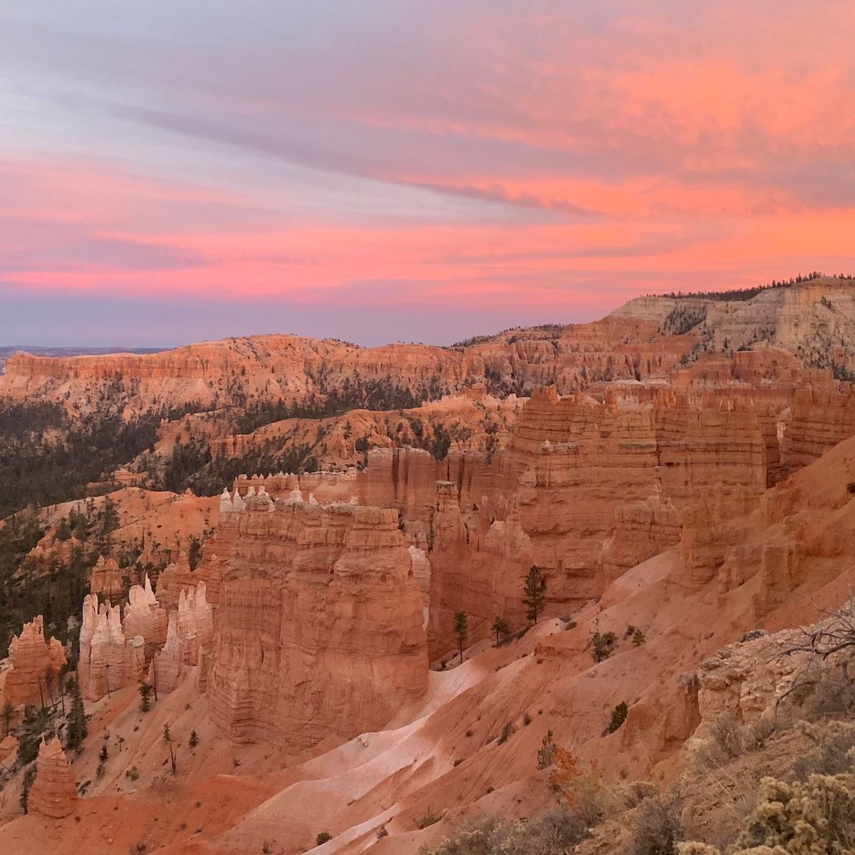
Soaring granite ridgelines and clear blue lakes make the Sawtooth Mountains an Idaho treasure. Consider the numbers: 40 peaks more than 10,000 feet high, 300 lakes, and 250 trail miles packed into a spectacular, 217,000-acre wilderness. Only got a weekend? Sample the best of the Sawtooths—a high density of lakes and peaks with a short approach—on this 15-mile loop (with a six-mile shuttle). One caveat: With peakbagging options to the east (10,125-foot Imogene Peak) and west (10,211-foot Payette Peak) of Imogene Pass, you’ll want a loooong weekend for this route.
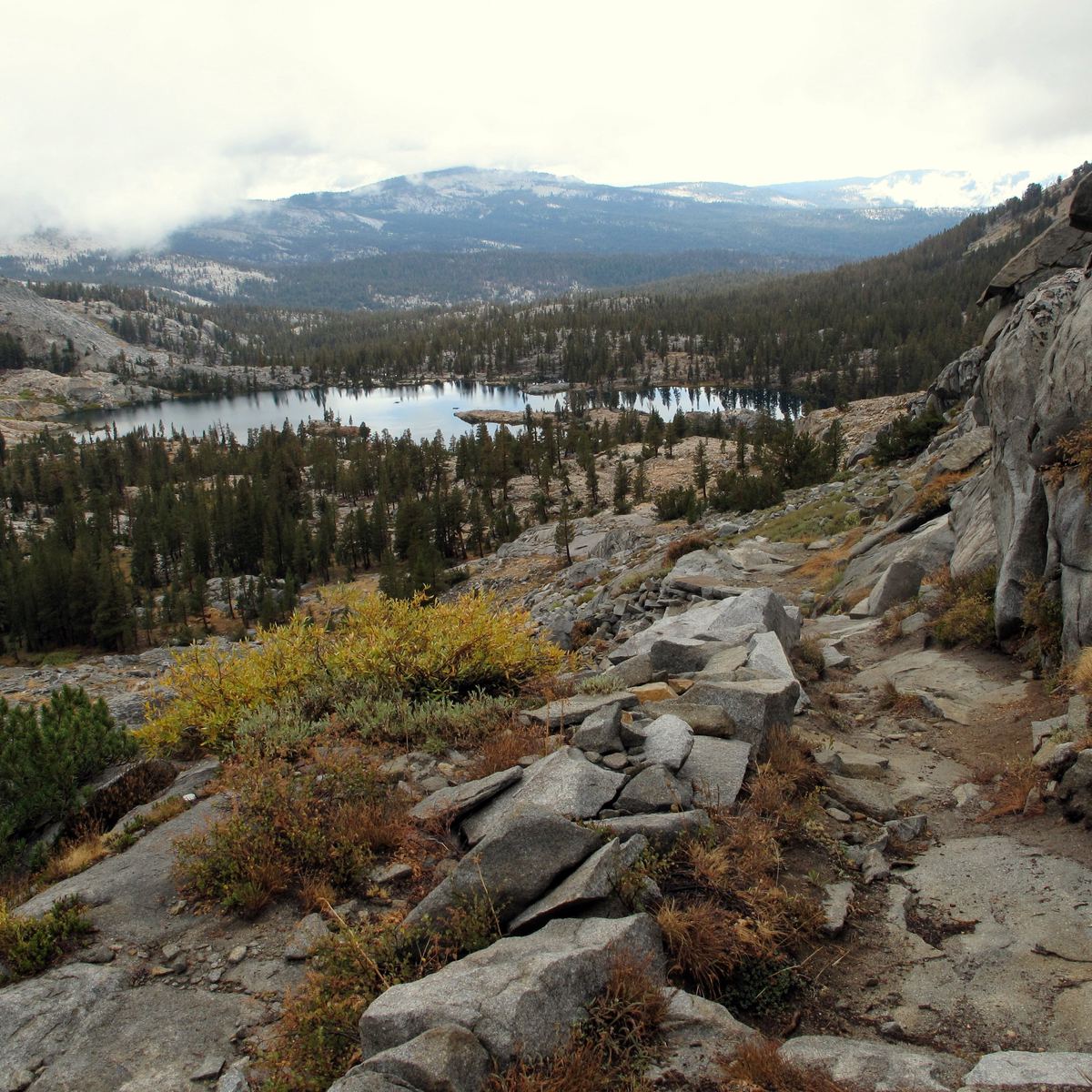
From the trailhead, hike 1.75 easy miles to Hell Roaring Lake, with its killer views of Mt. Cramer, Decker Peak, and the Finger of Fate, a 1,000-foot pinnacle (and 5.8 route, for you climbers in the crowd). Continue three-plus miles to lakeshore camps on either side of Imogene Pass. From Edith Lake, it’s an eight-mile descent on the Yellow Belly Trail to the trailhead, just off ID 75. The shuttle’s an easy 6.25 miles south along ID 75 (leave a car or bike, or hoof it).
MORE INFO: Sawtooth National Forest, (208) 774-3000; fs.fed.us/r4/sawtooth
–Steve Howe, howephoto.us
Trail Facts
- Distance: 24.1
Waypoints
IMG001
Location: 44.029405, -114.838758
Hell Roaring Creek Trailhead
IMG002
Location: 43.995633, -114.954549
Imogene Lake
IMG003
Location: 43.981971, -114.961901
Imogene Pass
IMG004
Location: 43.977499, -114.958706
Edith Lake
IMG005
Location: 43.99638, -114.877049
Yellow Belly Lake