Springfield, IL: Beaver Dam Lake
Springfield, IL: Beaver Dam Lake
Explore a 59-acre lake and get a bird's-eye view of a buzzing wetland on this 2.9-mile hike through an historic state park in central Illinois.
Heading out the door? Read this article on the new Outside+ app available now on iOS devices for members! Download the app.
Beaver Dam Lake, despite its name, is an artificial lake created by a Carlinville fishing club in the 1890s. It’s the centerpiece of the 750-acre park and the highlight of this easy 2.9-mile loop. Beginning at the park restaurant’s outdoor patio, this route follows the lakeshore for 1.5 miles: heading east over several footbridges to the dam, topping the dam, and turning west to hug the lake’s northern shore.
At the hike’s halfway point, you’ll leave the lake and follow the Marsh Trail into upland woods on the park’s west side. A marshy pond with an active population of swallows, butterflies, and bullfrogs awaits keen observers who stop at the viewing platform near mile 1.6. After the platform, the trail begins an easy climb past the campground before turning south and skirting the west edge of the pond toward a dense maple canopy. Just before closing the loop, hop into the boardwalk that protects the fragile wetlands from wandering soles.
The lake-side restaurant is open April thru October and is a great place to stop for a post-hike meal.
-Mapped by Ted Villare


Trail Facts
- Distance: 4.7
Waypoints
BDL001
Location: 39.2100483, -89.9755543
Start this counterclockwise loop from the far eastern edge of the restaurant’s outdoor patio overlooking the lake. The trail squeezes between the lake’s south shore and oak- and hickory-laden bluffs on the right. A series of wooden footbridges lead over intermittent streams.
BDL002
Location: 39.2140503, -89.9668198
The hike’s eastern edge tops the dam, built in the 1890s to enhance local fishing. Look for prairie plants, such as Queen Anne’s lace, Indian grass, and goldenrod on this stretch of trail.
BDL003
Location: 39.2143003, -89.9680388
After the dam, stick to the lakeshore trail by bearing straight ahead at two successive 3-way junctions.
BDL004
Location: 39.211474, -89.9755704
At the trip’s halfway point, leave the lakeshore and follow signs for the trailer camping area. In 50 yards, catch the beginning of the Marsh Trail next to the RV dump station on the left.
BDL005
Location: 39.2117982, -89.9771583
Continue straight ahead at 3-way junction. A trailside observation platform offers a perfect view of the small pond blanketed in green algae. Watch for wooducks, red-winged blackbirds, swallows, butterflies, bull frogs, and turtles.
BDL006
Location: 39.2119644, -89.9776733
Bypass the campground road by continuing straight at 3-way junction, up ahead this route bears right follow the campground trail up a small hill.
BDL007
Location: 39.2138597, -89.9796796
After a quick descent, the trail winds alongside a seasonal, sandy-bottomed creek. The trail roller coasters under a dense canopy of hickory, elm, and oak; ravines occasionally tumble down the sides of the path.
BDL008
Location: 39.2164034, -89.978832
Bear left at 3-way junction and follow the country road west for about 150 yards.
BDL009
Location: 39.216395, -89.9808383
Bear right at two successive 3-way junctions, moving downhill, into the woods and away from the road.
BDL010
Location: 39.2127037, -89.9801102
Bear right at 3-way junction and continue toward the pond’s western shore. You’ll notice cattails, black-eyed Susans, and sand willow along its edges.
BDL011
Location: 39.2095566, -89.9803009
Turn left at 3-way junction into a dense forest with towering maple and tulip trees.
BDL012
Location: 39.2099028, -89.9762571
As the loop closes, the trail merges with a zig-zagging boardwalk near another smaller wetland pond. Bear right at 3-way junction at the end of the boardwalk to land back at the trailhead parking area.
Lake Path
Location: 39.2095121, -89.9721479
The path around Beaver Dam Lake winds through an oak-hickory forest. © Ted Villaire
Beaver Dam Lake
Location: 39.2145746, -89.9669337
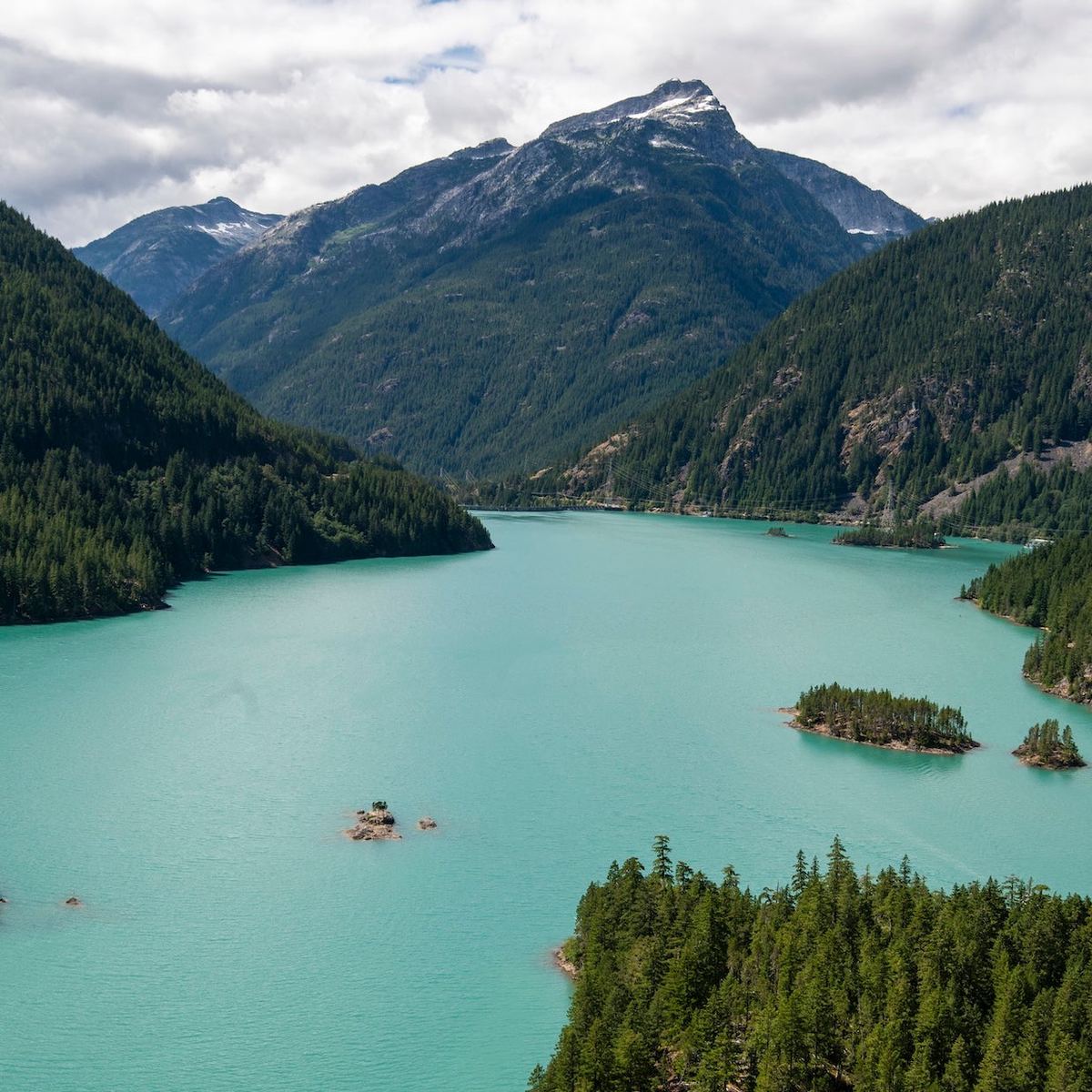
The 59-acre lake has a maximum depth of 10 feet but has been stocked with populations of largemouth bass, bluegill, sunfish, and channel catfish. © Ted Villaire
Northside Lake Trail
Location: 39.2122055, -89.9729741
Open understory allows for great views of the artificial lake. © Ted Villaire
Pond
Location: 39.2118896, -89.9774373
An observation point offers an open invitation to watch the teeming wildlife in and around this algae-covered pond. © Ted Villaire
Boardwalk
Location: 39.2098696, -89.9761605
This wide, open boardwalk protects the fragile wetland and allows fully accessible marsh-bound trips from the nearby parking area. © Ted Villaire