Thomas Fire Would Engulf Many U.S. Cities, Maps Show
Thomas Fire Would Engulf Many U.S. Cities, Maps Show
See how far Ventura County's monster blaze would stretch in LA, New York, Chicago, and more.
Heading out the door? Read this article on the new Outside+ app available now on iOS devices for members! Download the app.

Ventura County’s Thomas Fire, the fourth-largest in modern California history, has burned 250,000 acres. See how far that devastation would stretch on this series of maps overlaying the blaze’s reach on LA, San Francisco, New York, Chicago, and Hawaii.
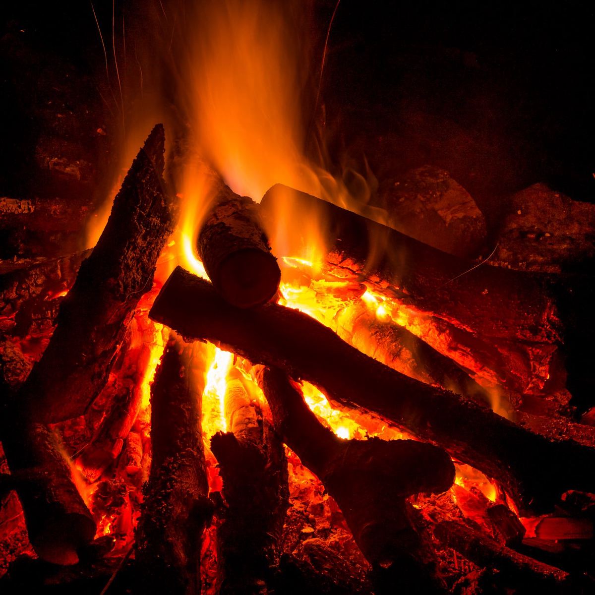
The 5 Types of Campfire and When to Use Them