3 Hikes You Can’t Miss Near Austin and San Antonio
3 Hikes You Can’t Miss Near Austin and San Antonio
Texas is way more than flat, barren land. Try these three hikes in Hill Country.

Heading out the door? Read this article on the new Outside+ app available now on iOS devices for members! Download the app.
In honor of her recently released guidebook, Hiking Texas Hill Country from Falcon Guides, the author revisits some of her favorite trails in the region.
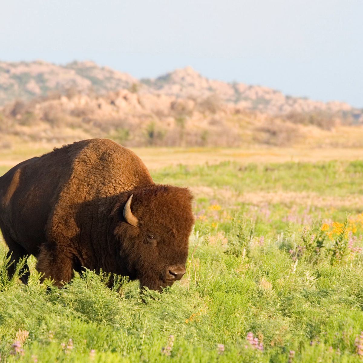
Those unfamiliar with Texas often conjure images of the flat, barren desert of the west, seemingly populated only with oil rigs, cattle farms, and windmills. Or they think of the flat, humid swamps of the southeast where Houston suburbs stretch toward the Gulf. But those who have explored more of the state know that somewhere in between is the magical region of Hill Country, composed of rolling, tree-covered mounds, riparian creek beds, and rocky cliffs that offer an ideal destination to don your hiking shoes and explore.
Indeed, the wild expanses that stretch west beyond the city limits of Austin and San Antonio are full of state parks, winding rivers, rocky trails, endangered species, and wide open views that are absolutely worth the ramble. Just don’t forget to pack plenty of water and sun protection as exposed sections of trails in the region can be brutally hot in the summer. Here are three hikes in the area that are more than worth the trip for friends, solo travelers, and families.
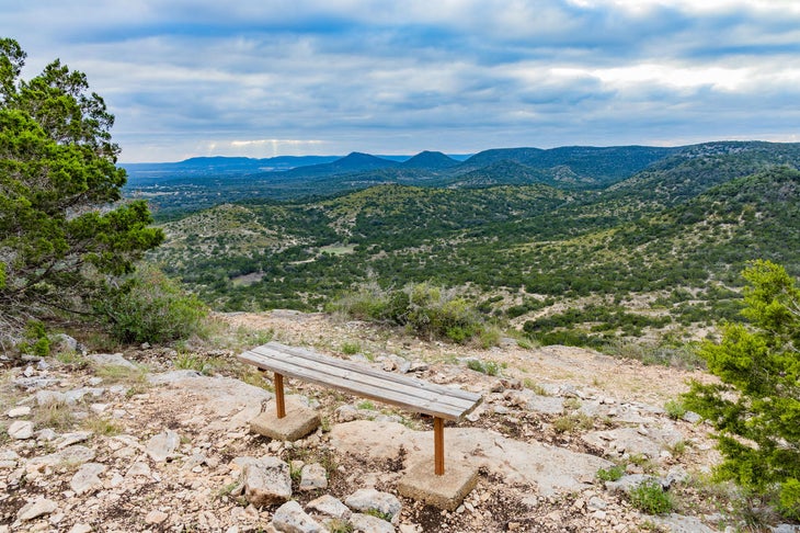
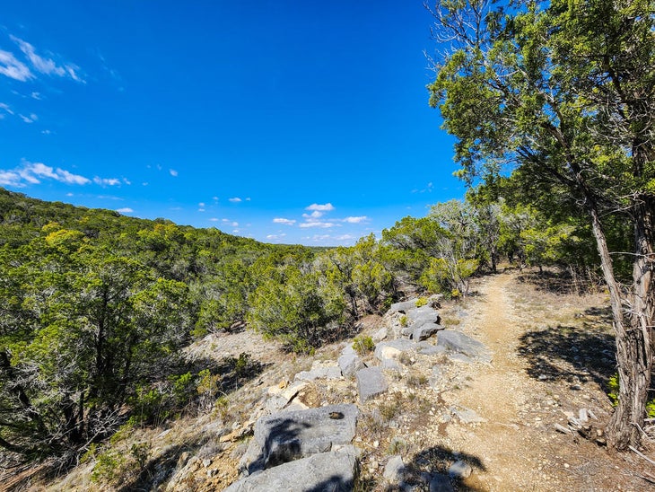
Hill Country Natural Area: Cougar Canyon Overlook Trails
3 miles
A little over an hour drive west of San Antonio is perhaps the most aptly named of all the Texas State Parks: Hill Country State Natural Area. Indeed, there’s minimal infrastructure here—just a simple ranger station and a few drop toilets and water spigots located throughout the 5,369-acre park. Camping is available in dedicated spots that offer no electricity or water but that are fairly secluded and partially shaded by the mesmerizing, twisting branches of live oak trees. The trails here are often empty; you might share the routes with just a single other hiker or equestrian.
The solitude is part of what makes hiking up and down along the 40 miles of park trails here so magical, but the landscape plays an important role, too. From lookout points after long, rocky, sunny climbs, Hill Country views stretch for miles. Native plants like yucca, agave, and juniper line the trails, and in the spring, prickly pear cactus sprout bright blooms. From the Cougar Canyon Overlook Trail, you can extend your hike by tacking on portions of the West Peak Overlook Trail to delve into more remote and varied regions of the park. A day-use pass is required, which can be reserved online or purchased in person at the park.
Pedernales Falls State Park: Madrone and Juniper Ridge Trails
8.5 miles
Most visitors to this picturesque state park an hour west of Austin visit just for the falls: wide, flowing stepped pools in a limestone creek bed that reflect the blue of the sky. And to be sure, you shouldn’t miss the short hike to enjoy the view (or another short walk from a trailhead downstream to the swimming area). But if you want to clock some miles and have an often-shaded path mostly to yourself, head to the trailhead parking lot just outside the park entrance to hike along Madrone and Juniper Ridge trails.
Here, you’ll find rocky paths flanked by juniper and live oak trees, plus the occasional madrone, and possibly even spot wildlife like deer and armadillo. While much of the trail is within the trees, you’ll be treated to glimpses of rolling Hill Country landscapes during open sections and big, sunny skies as you hike up and down short climbs, but mostly enjoy moderately easy trails. You will need a day-use pass to hike, even though the trailhead is outside the entrance gate, which you can reserve in advance online or at the visitor center.
Purgatory Creek Natural Area: Full Loop
8.1 miles
Halfway between Austin and San Antonio, not far from the main Texas artery that is I-35, is this San Marcos gem. The area is free to visit, but still not crowded, especially once you get past the trailheads on either end of the long stretch of trails. The natural area is populated with live oak trees, limestone cliffs, viewpoints, and an abundance of birds, including the endangered golden cheeked warbler (so don’t forget your binoculars).
Literature buffs will enjoy that the network of connecting trails are named after features and figures in Dante’s Inferno (Styx, Paraiso, Dante, etc.), and everyone can revel in the fact that most of the way is in blessed shade, requires only moderate ups and downs, and passes by creek beds, high stone walls, and plenty of native plant life. Although one or two short sections pass by houses high in the hills and under one highway overpass, your chances of spotting deer grazing in the fields are high, and you’re likely to enjoy plenty of peace and quiet.
Find Hiking Texas Hill Country on falconguides.com.
From 2024