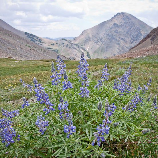
Spokane: Mica Peak and Shasta Butte
Spokane: Mica Peak and Shasta Butte
Bag two peaks on this 12-mile out-and-back, with breathtaking views of Spokane, Coeur d'Alene, and the surrounding mountains, lakes, and prairies.
Heading out the door? Read this article on the new Outside+ app available now on iOS devices for members! Download the app.
Trail Facts
- Distance: 11.5
Waypoints
MPS001
Location: 47.6656227, -116.9771042
Walk past gate and up graded dirt road
MPS002
Location: 47.6468086, -116.9744339
R on dirt road
MPS003
Location: 47.6474228, -116.981575
R @ junction
MPS004
Location: 47.6437607, -116.9895782
Head L and uphill
MPS005
Location: 47.6347466, -116.9917831
Head SE up steepest trail
MPS006
Location: 47.6313705, -116.9929733
Head L @ 3-way toward Mica Peak; L @ next junction
MPS007
Location: 47.630806, -116.9900436
L @ junction; Quick R @ junction
MPS008
Location: 47.6222382, -116.9884644
Mica Peak summit (5,172 ft.) and sterling views of numerous peaks
MPS009
Location: 47.6334496, -116.9956436
L @ junction, then R @ junction
MPS010
Location: 47.6337547, -116.9972076
Straight @ 3-way, head uphill toward Shasta Butte (4,751 ft.) and more vistas. Return to 3-way junction; look for overgrown descent trail (L) to return to car