5 Trails That Show Why Lake Tahoe Is The Best Place For Your Hiker Family
5 Trails That Show Why Lake Tahoe Is The Best Place For Your Hiker Family
Lake Tahoe—the largest alpine lake in North America—has hundreds of miles to hike. Here are the best of them for the whole family.
Heading out the door? Read this article on the new Outside+ app available now on iOS devices for members! Download the app.
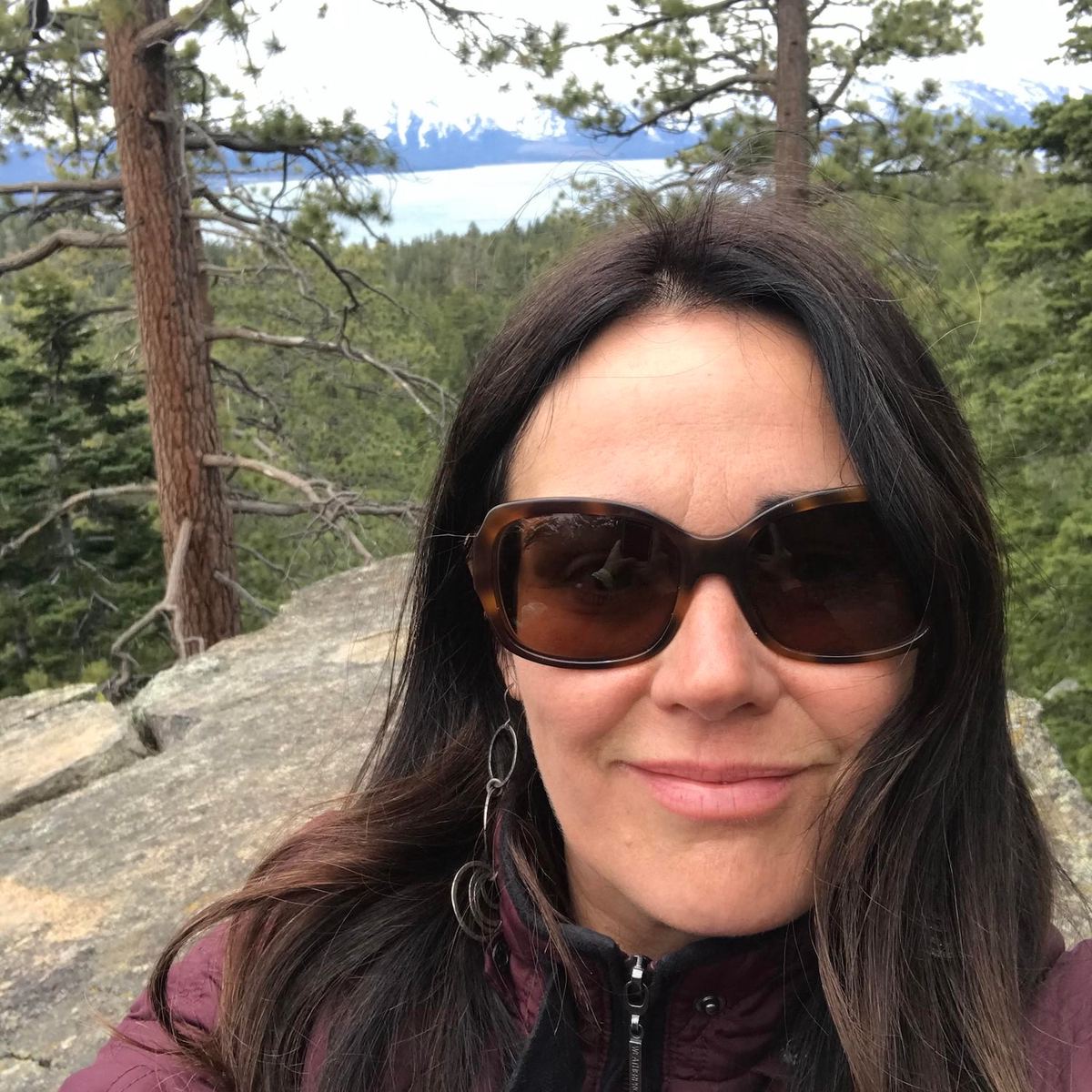
It might seem impossible to please everyone on family trips, but my recent vacation to Lake Tahoe proved this wrong. In our group, we had three avid hikers, two nature lovers in their late 70s, and two teenagers who needed a nudge and guarantee of a visual payoff to show some on-trail enthusiasm.
Although the Pacific Crest Trail and Tahoe Rim Trail might be the best-known local trails for backpackers, countless routes in Lake Tahoe are worthy dayhikes and are accessible to families with varying activity levels like mine. Here are five glorious dayhikes in the Lake Tahoe area, plus how I choose trails each day depending on weather, traffic, and the interests and activity level of those joining me.
Southeast Side
Van Sickle Rim Trail Connector
Since we were staying near Zephyr Cove, I chose this well-maintained out-and-back trail for our first morning because I could avoid traffic while enjoying a moderate hike with unparalleled Lake Tahoe views and bouldering opportunities. It’s also a great way to acclimate to the elevation. We hit the trailhead after snapping a few goofy photos on the nearby California-Nevada state line. Approximately 3.3 miles into the hike, this trail intersects with the Tahoe Rim Trail, which you can follow to rub elbows with thru-hikers. Looking for something shorter? There’s an unnamed waterfall 1.1 miles into the hike worth checking out. Also, 0.4 miles into the trail, you can tag the Cal-Neva Loop, which crosses the state line several times and adds up to 2.6 miles of trail. Downside: While the views were great, the elevation gain was too much for our older family members with asthma.
Nevada Beach Round Mound Trail
While the kids and grandkids hiked Van Sickle, my parents took a beautiful stroll through the forest and meadows to Nevada Beach. They weren’t up for the entire 5.2 miles in one day, but they completed different sections on different days via various access points, eventually covering the whole trail. Much of the trail is paved and accessible for wheelchairs/mobility equipment, but there are unpaved sections where all-terrain tires may come in handy, and some sections have a mild grade. From Elks Point Road, it was easy for my parents to plan a flat, shaded stroll. One evening, the entire family took in spectacular sunset views atop Round Mound, and the kids loved seeing the abandoned resort cabins near the base of the hill.
Northeast Side
Tahoe East Shore Trail
This gorgeous 3-mile paved trail between Incline Village and Sand Harbor hugs the east shore with beach access at various spots. It’s wheelchair-accessible, but some may require assistance with the mild grade between the parking lot near Tunnel Creek Cafe and Hidden Beach. From Hidden Beach to Sand Harbor State Park is relatively flat but will take longer than you think—you won’t be able to resist stopping to photograph the crystal-clear panoramic lake views, giant granite boulder formations, and the mountains which surround Lake Tahoe. Plenty of opportunities exist for paddling, swimming, or boulder jumping in Sand Harbor or other access points. For those who want to avoid walking the trail both ways, a seasonal shuttle service runs between the Incline Village parking lot and Sand Harbor, so you can plan just a point-to-point hike. My crew loved it so much we spent two days of our vacation here.
Please note: Parking is available at Sand Harbor but fills early during summer. You need reservations for parking spaces in the state park between August 17 and October 31, 2024. This reservation system opened in July as a test run, with the full program slated to roll out in April 2025. (When booking a spot through the state park website, select “parking lot” as a rental type.)
South West Side
Emerald Bay Vikingsholm Trail
I had fresh meat (read: Tahoe newbies) with us this year, or we probably would have skipped this one—not because Emerald Bay State Park is boring, but because parking is a whole thing. If you’re going, arrive early, and even then, have a Plan B hike in mind because parking fills up fast and you will get a ticket if you park on the side of the road.
Vikingsholm Trail is wide, shaded, and mostly paved, but the 8 percent grade is not considered wheelchair friendly. The trail begins at the Vikingsholm parking lot and descends to the bay. Once your family arrives at the bottom, there is something for everyone: take a tour of the 38-room Vikingsholm castle, eat lunch by the lake, or rent a SUP or kayak and paddle to Fannette Island to check out the ruins of the “Tea House” built by Lora Knight, former owner of Vikingsholm. From where the trail meets the lake, hikers can continue about a quarter mile to Lower Eagle Falls or join the 22-mile Rubicon Trail, which runs through Emerald Bay to DL Bliss State Park.
West Side
Meeks Bay Trail to Lake Genevieve and Crag Lake
It was unseasonably cool (high of 72) for two days of our trip, so it was easy to talk the teens out of a beach day and into a journey to the west side. We planned a 9.5-mile out-and-back hike to Lake Genevieve and Crag Lake followed by a refreshing plunge in picturesque Meeks Bay. The Meeks Bay Trail connects to the TRT and the PCT for any intrepid members of the family who would like to spend a couple days section hiking those trails. Unfortunately, about 2.5 miles into the hike we had to turn back because smoke from the Park Fire in Chico began to roll in, burning our eyes and lungs. Although we were sad to miss out, safety reigns supreme, and now we have an excellent option for the next trip.
From 2024