America Has Two New National Monuments. Here’s Where You Should Hike In Them.
America Has Two New National Monuments. Here’s Where You Should Hike In Them.
Chuckwalla and Sáttítla Highlands are our country's two newest national monuments. Here's where you should explore them.

Heading out the door? Read this article on the new Outside+ app available now on iOS devices for members! Download the app.
Earlier this week, President Biden announced he would sign proclamations to officially establish Chuckwalla National Monument in southern California and Sáttítla Highlands National Monument in northern California. These two new national monuments add 840,000 acres to of protected land to California’s 30×30 plan, which hopes to conserve 30 percent of the state’s lands and coastal waters by 2030. Now, as a result of these two national monuments, 25.8 percent of the state’s total lands are under conservation management.
Want to get to know Chuckwalla and Sáttítla National Monuments? From 1 mile to 13, these are our picks for the best trails to do it on.
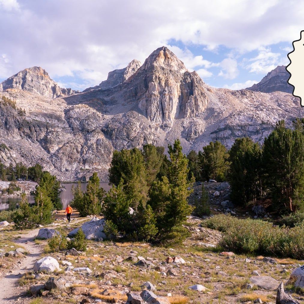
Chuckwalla National Monument
Just across the highway from Joshua Tree National Park, Chuckwalla National Monument is home to sacred landscapes for the Iviatim, Nüwü, Pipa Aha Macav, Kwatsáan, and Maara’yam peoples. It protects a wide swath of desert, including essential habitat for desert tortoises, pupfish, bighorn sheep, and more.
Chuckwalla Mountain
The Angeles chapter of the Sierra Club designated this peak as one of the best in the entire southwest. As just a 3-mile round-trip hike, this daytrip is a quick way to explore the best of the national monument. In general, this range is very arid—most of the ground here is bare rock—and doesn’t have much flora beyond cactus, ocotillo, and creosote. Watch your footing: Toward the top, a lot of the rocks are loose. Don’t be alarmed if you hear explosions in the distance, either. The access road that you drove in on is just north of a military bombing range.
Painted Canyon
Local hikers consider this trail to be one of the best desert treks in southern California. It has plenty of rock scrambling, hiking through slot canyons, and scaling ropes and ladders. Plan on hiking a bit slower than usual. A combination of sandy terrain and scrambling through narrow canyons means you won’t be breaking any speed records. That just means more time to take in the views from the inside of the canyon.
Recent trail reports say to look for arrows made of rocks for navigation. Technically dogs are allowed in this area, but carrying them up and down the ladders would be quite challenging, so we recommend leaving them at home.
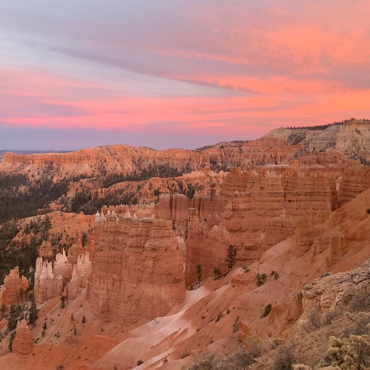
Sáttítla Highlands National Monument
The Sáttítla National Monument encompasses the Medicine Lake Highlands, a forested landscape of alpine lakes. It’s also home to the Medicine Lake Volcano, which covers an area roughly 10 times that of Mt. St. Helens in Washington. The lands and waters around this region have provided critical resources for the Pit River Tribe and other Native peoples, and this designation will protect them, hopefully, for good.
Medicine Lake Volcano + Mt. Hoffman
Medicine Lake Volcano is a large shield volcano, which don’t look like the stereotypical tall and conical volcanoes. Like a fighter’s shield lying flat, these are much wider than they are tall, and they have gentle slopes. Of all the volcanic peaks on the the rim of the volcano, Mt. Hoffman is the tallest. This trail, which is used for both hiking and skiing, has views of Medicine Lake at the very top. There are also lots of fresh lava flows in the area, including one that is only 200 years old. Side note: Collecting obsidian anywhere in the highlands is against the law. However, the east side of Modoc National Forest has four obsidian mines, where it is legal to collect obsidian with a permit.
Medicine Lake Glass Flow
This 0.9-mile out-and-back starts near the A.H. Hogue Campground and takes you to the edge of Medicine Lake Glass Flow, a geological area that molten lava created 5,000 years ago. This relatively flat hike is kid-friendly and perfect for a quick excursion if you’re camping at A.H. Hogue. If you want want to do a bit more exploring, check out the Pumice Crater Trail nearby.
Pumice Crater and Crater Glass Flow Trail
Hike past a crater and lava flow from an ancient volcanic eruption on this 3.5 mile out-and-back. Along the trail are red and white cinder cones, ancient faults and fissures, and glass and pumice deposits. The trail is faint in spots but generally easily to follow. Obsidian in this area is abundant as well. Native people used it for thousands of years because it has a cutting edge sharper than a surgical scalpel, which made it an excellent material for creating tools. (Found what looks like an arrowhead or other artifact? Respect the area’s human history and practice Leave No Trace by leaving it where you found it.)
From 2025