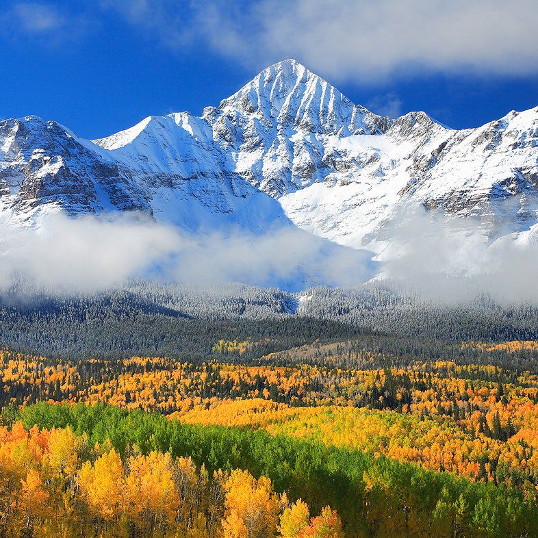
Anchorage: Lazy Mountain
Anchorage: Lazy Mountain
Don't be fooled by the name: You'll climb 3,000 feet in 2 miles to a summit with spectacular views of rivers, mountains, and ocean.
Heading out the door? Read this article on the new Outside+ app available now on iOS devices for members! Download the app.
-Mapped by Gina Wheeler


Trail Facts
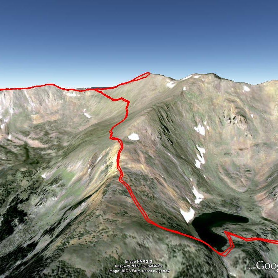
- Distance: 3.4
Waypoints
Traversing A Slope
Location: 61.6199150085449, -148.970901489258
©Gina Wheeler
Vallley Views
Location: 61.6226463317871, -148.9697265625
©Gina Wheeler
LZY001
Location: 61.6110343933106, -149.015762329102
Pick up Lazy Mountain Trail; pace yourself slow and steady for this stiff climb
LZY002
Location: 61.6136741638184, -149.005722045898
Below, the Matanuska River unravels in its namesake valley, passing Palmer and Wasilla enroute to Cook Inlet
LZY003
Location: 61.6139602661133, -148.998977661133
Climb railroad-tie stairs past swaying grasses and wiry alders
LZY004
Location: 61.6139945983887, -148.996154785156
The braided arms of the Matanuska join the equally impressive Knik River. To the N, the Talkeetna Mountains are jagged against the horizon
LZY005
Location: 61.6132011413574, -148.989486694336
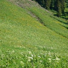
Oodles of wildflowers (mid-July to August) garnish the alpine zone
LZY006
Location: 61.6186981201172, -148.975158691406
Rest near boulders. Every July, hundreds of hard-core trail runners ascend Lazy Mtn. as part of a 14-mile race with a 9,000-ft. gain
LZY007
Location: 61.6193885803223, -148.971817016602
More killer views of the Knik River below; only 400 feet left to ascend
LZY008
Location: 61.6203308105469, -148.970260620117
Trail follows bare ridgeline; navigate boulder field
LZY009
Location: 61.622688293457, -148.966415405273
Continue up ridgeline to summit of Lazy Mtn. (3,762 ft.), photo ops of Matanuska Peak, and likely sightings of Dall sheep. Wolf down a high-mountain lunch and check trekking pole locks before descending