Denver: Devils Thumb Loop
Denver: Devils Thumb Loop
Bag two peaks on this 9-mile, fido-friendly loop around Boulder's signature Flatirons.
Heading out the door? Read this article on the new Outside+ app available now on iOS devices for members! Download the app.
Trail Facts
- Distance: 11.0
- Miles from city center: 29
Waypoints
DTL001
Location: 39.9674339294434, -105.258682250977
Head S then W across an open mesa dotted with pines; Devils Thumb protrudes from the Flatirons ahead
DTL002
Location: 39.960765838623, -105.26634979248
Turn L @ Y onto South Fork Shanahan Ridge Trail
DTL003
Location: 39.9586181640625, -105.280220031738
Take L @ Mesa Trail and head S
DTL004
Location: 39.9459495544434, -105.287033081055
Turn R and begin knee-popping, 2,000-ft. ascent into the verdant contours of Shadow Canyon
DTL005
Location: 39.9565162658691, -105.297164916992
Reach saddle and take L
DTL006
Location: 39.9536018371582, -105.299415588379
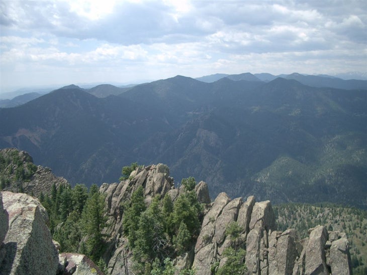
South Boulder Peak (8,549 ft.): Eldorado Canyon drops off precipitously to the south Continue back to saddle and turn L onto Bear Peak Saddle Trail.
DTL007
Location: 39.9602661132812, -105.295166015625
Bear Peak (8,461 ft.): Scope the Great Divide on the western horizon then descend north into the shady environs of Fern Canyon and return to the Mesa Trail
DTL008
Location: 39.9645843505859, -105.279815673828
Turn R back onto the Mesa Trail and hike .6 miles back to the South Fork Shanahan Ridge Trail to close loop then return to trailhead
Benchmark and the Great Divide
Location: 39.9600219726562, -105.294891357422
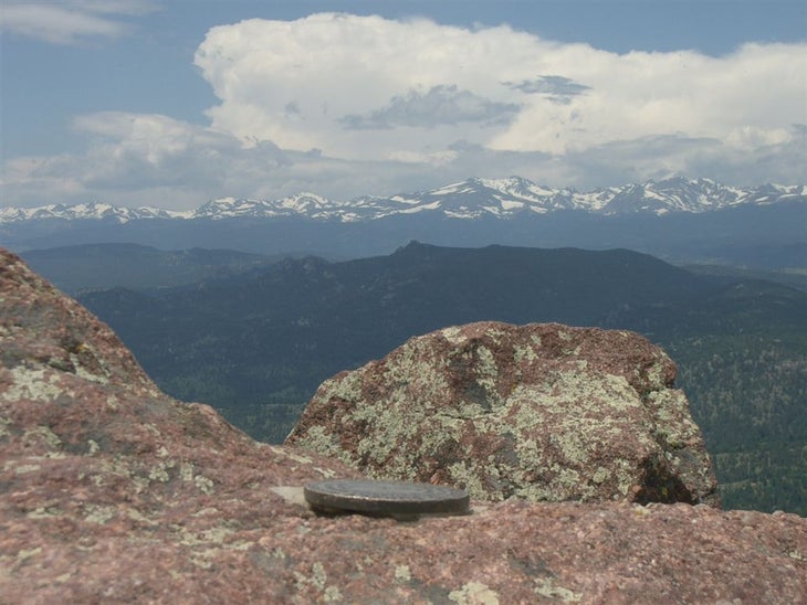
A USGS marker notes the 8,461-foot summit of Bear Peak, where views stretch west to the snow-capped glaciers of the Indian Peaks and the Continental Divide. ©Andrew Matranga
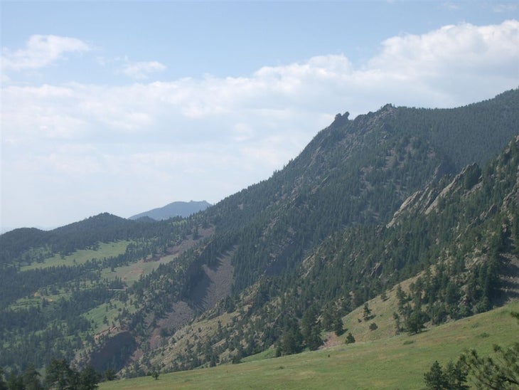
The Angle of the Flatirons
Location: 39.9607543945312, -105.29411315918
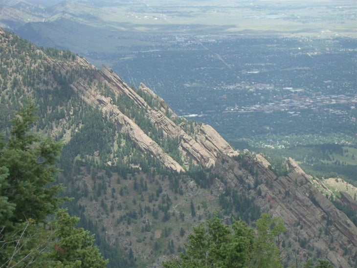
From above, the Flatirons are less-than-vertical, demonstrating the uplift that occured many geologic years ago. ©Andrew Matranga
View into Eldorado Canyon
Location: 39.9535827636719, -105.29940032959
Looking southwest from South Boulder Peak. ©Andrew Matranga
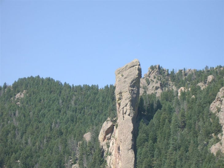
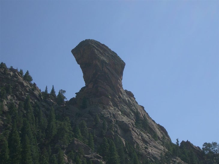
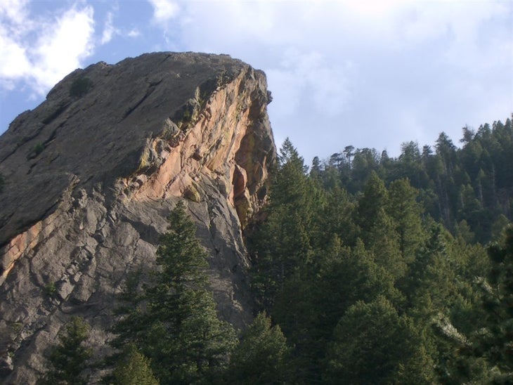
Close up of Devil’s Thumb
Location: 39.9519271850586, -105.290298461914
A near-vertical shot of the iconic Devil’s Thumb. ©Andrew Matranga
Down the Range
Location: 39.9482498168945, -105.290344238281
A view south from Shadow Canyon. Note double ears of “Mickey Mouse Wall” near Eldorado Mountain. ©Andrew Matranga
Like a lonesome hitchhiker
Location: 39.9521102905273, -105.289283752441
View from below in the depths of Shadow Canyon, the protruding granite spire of Devil’s Thumb pierces the Boulder Skyline like a wayward roadside straggler. ©Andrew Matranga
Flatirons Up Close
Location: 39.9649391174316, -105.289558410645
Viewed This is an unnamed Flatiron above “The Slab” and below Bear Peak. ©Andrew Matranga
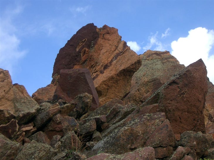
Summit of Bear Peak
Location: 39.9602508544922, -105.295074462891
A stack of boulders greets the tired hiker to Bear Peak, Boulder’s second highest summit. ©Andrew Matranga
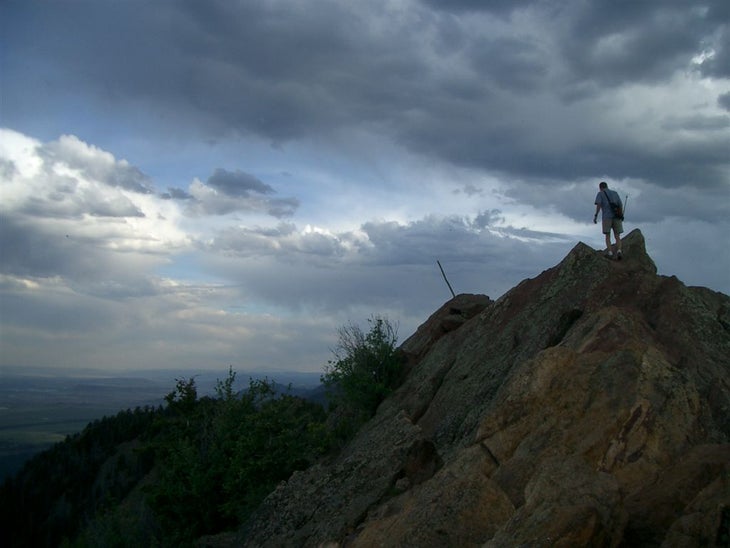
Scrambling Atop Bear Peak
Location: 39.9624099731445, -105.29443359375
The last few hundred yards to the summit follow an exposed ridgeline requiring some hand-over-hand scrambling. ©Andrew Matranga


