Pacific Crest Trail: CA Section 39
Pacific Crest Trail: CA Section 39
CA 3 to CARTER MEADOWS SUMMIT: Pass rocky lake basins and deep, glacially scoured canyons on this 18.5-mile leg across the slim ridges of the Scott Mountains.
Heading out the door? Read this article on the new Outside+ app available now on iOS devices for members! Download the app.


Trail Facts
- Distance: 29.7
Waypoints
PCT975
Location: 41.2755661010742, -122.697563171387
Scott Mountain Summit @ CA 3; trail crosses highway turnoff/trailhead parking area. To W is a campground with bathrooms.
PCT976
Location: 41.2622680664062, -122.725364685059
Enter the Trinity Alps Wilderness
PCT977
Location: 41.239818572998, -122.732765197754
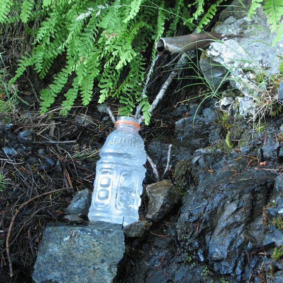
Pass springs
PCT978
Location: 41.2281684875488, -122.745613098145
Cross Mosquito Lake outlet creek
PCT979
Location: 41.2258148193359, -122.777030944824
Go straight @ East Boulder Lake jct.
PCT980
Location: 41.2207679748535, -122.777168273926
Cross creek
PCT981
Location: 41.2125663757324, -122.78971862793
Stay straight @ Middle Boulder Saddle Trail jct.
PCT982
Location: 41.2066345214844, -122.795303344727
Stay straight @ Telephone Lake Trail
PCT983
Location: 41.2019348144531, -122.796531677246
Cross creek
PCT984
Location: 41.2016677856445, -122.797149658203
Cross creek with a nice campspot
PCT985
Location: 41.2002334594727, -122.799201965332
Cross creek
PCT986
Location: 41.1985511779785, -122.80118560791
Stay R @ Bloody Run Trail jct.
PCT987
Location: 41.2064323425293, -122.823783874512
Pass a spring
PCT988
Location: 41.2070007324219, -122.835914611816
Stay straight @ jct.
PCT989
Location: 41.197883605957, -122.855834960938
Pass a spring
PCT990
Location: 41.2013511657715, -122.867980957031
Pass a spring
PCT991
Location: 41.2045516967773, -122.873497009277
Go straight from this saddle @ jct.
PCT992
Location: 41.209415435791, -122.893363952637
South Fork Scott River
PCT993
Location: 41.2208518981934, -122.899620056152
Cross road @ Carter Meadows Summit.
More PCT: Next Section | Previous Section
Carter Meadows Summit
Location: 41.2211380004883, -122.899856567383
Hikers caught in downpour at Carter Meadows Summit ©Jack Haskel
Rock-strewn hillside
Location: 41.2062492370606, -122.818244934082
©Jack Haskel
Rock-bound lake basin
Location: 41.2075157165527, -122.839790344238
©Jack Haskel