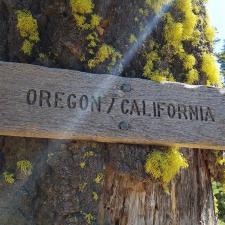
Pacific Crest Trail: OR Section 2
Pacific Crest Trail: OR Section 2
OR 66 to OR 140: Trek through grassy slopes around Old Baldy into the lava fields of Brown Mountain on this 34.2-miler.
Heading out the door? Read this article on the new Outside+ app available now on iOS devices for members! Download the app.


Trail Facts
- Distance: 55.1
Waypoints
PCT1121
Location: 42.1299514770508, -122.482696533203
Cross OR 66 @ Green Springs Summit
PCT1122
Location: 42.1425514221191, -122.490196228027
Cross dirt road
PCT1123
Location: 42.143482208252, -122.49382019043
Cross dirt road
PCT1124
Location: 42.1407661437988, -122.500068664551
Cross dirt road
PCT1125
Location: 42.1539649963379, -122.507698059082
Pass an unreliable water faucet on the R side of the trail that oftentimes pours muddy water
PCT1126
Location: 42.1586494445801, -122.485717773438
Cross Keene Creek @ the outlet of Little Hyatt Reservoir. The water flowing from this reservoir isn’t desireable for drinking
PCT1127
Location: 42.1643486022949, -122.465553283691
Head E @ paved road jct. around Hyatt Reservoir
PCT1128
Location: 42.1638984680176, -122.462699890137
Spur to water @ the corral on the L
PCT1129
Location: 42.1765823364258, -122.451934814453
Spur to horse camp on L
PCT1130
Location: 42.1786842346191, -122.445213317871
Cross dirt road
PCT1131
Location: 42.1863822937012, -122.437103271484
Cross dirt road
PCT1132
Location: 42.2007179260254, -122.387580871582
Cross paved road
PCT1133
Location: 42.2001495361328, -122.382469177246
Stay straight @ jct. with spur to Howard Prairie Lake
PCT1134
Location: 42.2170181274414, -122.367935180664
Cross canal with polluted water
PCT1135
Location: 42.2170677185059, -122.366897583008
Cross Grizzly Creek; polluted water
PCT1136
Location: 42.226318359375, -122.350715637207
Cross paved road
PCT1137
Location: 42.2410659790039, -122.308280944824
To refill water, follow spur on R that leads to a fenced-in spring
PCT1138
Location: 42.2409820556641, -122.306816101074
Fenced-in spring
PCT1139
Location: 42.2501983642578, -122.287467956543
Rogue River National Forest Boundary; trail curves to the N
PCT1140
Location: 42.27294921875, -122.276847839355
Cross paved road
PCT1141
Location: 42.2930335998535, -122.271697998047
Cross Dead Indian Rd.
PCT1142
Location: 42.3130493164062, -122.262763977051
Continue straight or follow spur leading L to South Brown Mountain shelter
PCT1143
Location: 42.313549041748, -122.26448059082
South Brown Mountain shelter: Sleeps four; well water
PCT1144
Location: 42.3364181518555, -122.26123046875
Go straight @ jct.; head toward lava fields
PCT1145
Location: 42.3936157226562, -122.290016174316
Stay straight @ jct.
PCT1146
Location: 42.394115447998, -122.290565490723
Stay straight @ jct. Optional: Turn L to hike to Fish Lake Resort
PCT1147
Location: 42.3957824707031, -122.291435241699
Cross OR 140; Fish Lake Resort 2 mi. W;
More PCT: Next Section | Previous Section
South Brown Mountain shelter
Location: 42.3139381408691, -122.264625549316
PCT’ers post up at the South Brown Mtn. shelter. ©Jack Haskel
Brown Mountain
Location: 42.3315963745117, -122.257942199707
©Jack Haskel