Pacific Crest Trail: OR Section 9
Pacific Crest Trail: OR Section 9
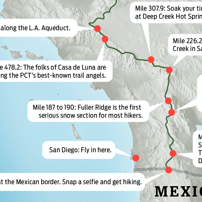
FR 4220 @ BREITENBUSH LAKE to TIMOTHY LAKE: Knobby buttes dominate this 31.4-mile trip through a landscape of glistening lakes offering big views of Mount Jefferson.
Heading out the door? Read this article on the new Outside+ app available now on iOS devices for members! Download the app.
Trail Facts
- Distance: 50.5
Waypoints
PCT1258
Location: 44.7656173706055, -121.787017822266
From FR 4220 near Breitenbush Lake, head N
PCT1259
Location: 44.7756843566894, -121.796630859375
Stay straight @ Gibson Lake Trail jct.
PCT1260
Location: 44.7766494750977, -121.797996520996
Keep straight @ Horseshoe Saddle Trail jct.
PCT1261
Location: 44.792350769043, -121.80606842041
Nice views of lakes to the W, including Olallie Lake and Ollalie Butte
PCT1262
Location: 44.8019332885742, -121.812232971191
Stay straight @ jct. with Trail #735
PCT1263
Location: 44.8080177307129, -121.810768127441
Stay R @ jct.
PCT1264
Location: 44.8138847351074, -121.78971862793
Ollalie Lake Resort: Small store with soda and ice cream, boat rentals, camping; no swimming allowed in this reservoir
PCT1265
Location: 44.8415336608887, -121.777381896973
Stay straight @ jct., crossing a dirt road and power lines
PCT1266
Location: 44.851734161377, -121.77173614502
Stay R around the small lake @ spur to Rd. 512
PCT1267
Location: 44.8540153503418, -121.767601013184
Stay straight @ Russ Lake Trail jct.
PCT1268
Location: 44.8619155883789, -121.764579772949
Pass a spring
PCT1269
Location: 44.8890151977539, -121.747032165527
Cross dirt road
PCT1270
Location: 44.90625, -121.748802185059
Lemiti Meadows: A nice, large campsite here, but the water in Lemiti Creek had a minimal flow
PCT1271
Location: 44.9048652648926, -121.742767333984
PCT swings L; pass spur to Trooper Spring (the water here may not be the best to drink)
PCT1272
Location: 44.9252815246582, -121.745635986328
Cross dirt road
PCT1273
Location: 44.9438323974609, -121.755470275879
Stay straight @ spur to Pinhead Saddle
PCT1274
Location: 44.9678649902344, -121.732315063477
Cross dirt road
PCT1275
Location: 44.9819183349609, -121.724914550781
Cross dirt road
PCT1276
Location: 44.9831504821777, -121.724685668945
Pass spur to spring
PCT1277
Location: 44.9964332580566, -121.717102050781
Cross dirt road
PCT1278
Location: 45.0006675720215, -121.716819763184
Cross Warm Springs River and a campsite
PCT1279
Location: 45.005298614502, -121.718368530273
Pass a spur to spring; continue heading N
PCT1280
Location: 45.0208320617676, -121.714263916016
Cross dirt road
PCT1281
Location: 45.0470504760742, -121.711235046387
Cross dirt road @ power lines
PCT1282
Location: 45.0771484375, -121.719253540039
Cross dirt road
PCT1283
Location: 45.0949821472168, -121.738616943359
Stay straight @ Miller Trail jct.
PCT1284
Location: 45.1005821228027, -121.743347167969
Stay straight @ Joe Graham Trail
PCT1285
Location: 45.1017684936523, -121.74658203125
Cross paved road near campground;
More PCT: Next Section | Previous Section