Portland: Angels Rest
Portland: Angels Rest
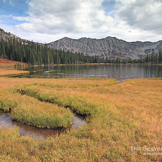
Earth, wind, and fire are all present on this 3.6-mile dayhike to a secluded waterfall and overlooks above the Columbia Gorge.
Heading out the door? Read this article on the new Outside+ app available now on iOS devices for members! Download the app.
Trail Facts
- Distance: 2.8
Waypoints
ART001
Location: 45.5605735778809, -122.172546386719
Cross Historic Columbia River Hwy. to pick up Trail 415
ART002
Location: 45.5602874755859, -122.172622680664
Veer L; steep but well-marked trail through dense woods
ART003
Location: 45.5610656738281, -122.16820526123
Cross small scree fi eld
ART004
Location: 45.5620956420898, -122.165222167969
Photo op: On L, the thin, milky braid of Coopey Falls drops roughly 100 ft. Trail curves around mossy cliffs to top of falls
ART005
Location: 45.561767578125, -122.163536071777
Pass near another small cascade before crossing Coopey Creek on small footbridge
ART006
Location: 45.5618896484375, -122.161682128906
Switchback up damp trail lacquered with spongy moss and bracken ferns
ART007
Location: 45.5627822875977, -122.159477233887
Viewpoint overlooks the often-windy Columbia Gorge. Climb on through a grove of massive Douglas fi rs
ART008
Location: 45.562801361084, -122.158187866211
Black-charred deadfall-evidence of a 1991 forest fi re
ART009
Location: 45.5635070800781, -122.153984069824
Cross boulder fi eld to ridge
ART010
Location: 45.5634918212891, -122.152000427246
Swing L off main trail, following rocky ridge to scenic bluff of Angels Rest. Views run up and down the Columbia River from Oregon to Washington. Retrace steps to trailhead