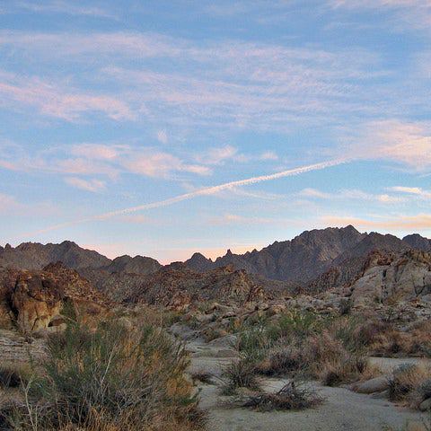
White Mountain National Forest: Mount Garfield and Galehead Mountain
White Mountain National Forest: Mount Garfield and Galehead Mountain
Go for two ragged 4,000-foot peaks in the pristine Pemigewasset Wilderness on this 14.2-mile backpacking loop.
Heading out the door? Read this article on the new Outside+ app available now on iOS devices for members! Download the app.
Trail Facts
- Distance: 21.3
Waypoints
GAR001
Location: 44.228889465332, -71.6332168579102
Go SE on Garfield Trail through thick birch and hardwoods
GAR002
Location: 44.2170486450195, -71.6280136108398
Cross 2 shallow creeks; continue gradual climb on leaf-covered trail
GAR003
Location: 44.1987495422363, -71.6210327148438
Trail curves SW, takes several long switchbacks up through spruce, fir
GAR004
Location: 44.188850402832, -71.6097869873047
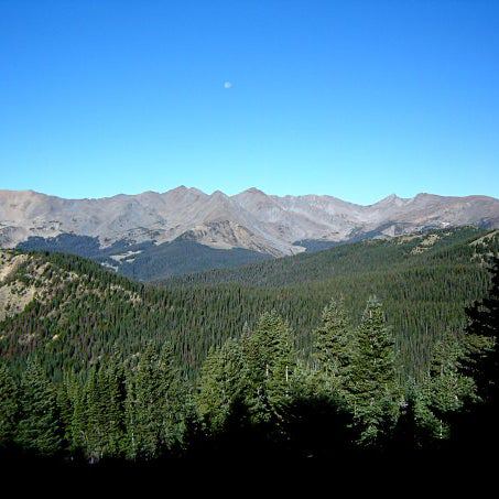
Turn R; begin steep, rocky ascent on most challenging section to Mt. Garfield’s flat summit (4,500 ft.). Views to SW of Lafayette and Lincoln. Return to WPT 4; turn R onto Garfield Ridge Trail; descend steep trail
GAR005
Location: 44.1900405883789, -71.607063293457
Camp @ Garfield Ridge Camp (7 tent platforms)
GAR006
Location: 44.1898994445801, -71.5988464355469
Bear L @ jct. with Franconia Brook Trail; steep ascent E on narrow trail
GAR007
Location: 44.1926498413086, -71.5810165405274
Dense deciduous forest opens up briefly as trail follows small rock outcropping; E views of lush Pemi Wilderness
GAR008
Location: 44.1900215148926, -71.5778198242188
Bear R @ Gale River Trail jct. In .6 mi., continue straight, following Frost Trail to summit. Don’t miss overlook in .8 mi.
GAR009
Location: 44.1849899291992, -71.5736618041992
Mostly wooded 4,024-ft. summit of Galehead Mtn. has view of Twin Mtns. to NE. Return to WPT 8; turn R on Gale River Trail
GAR010
Location: 44.2055511474609, -71.5895767211914
Rock-hop across narrow river
GAR011
Location: 44.2075691223144, -71.5910568237305
Cross river near confl uence on large rocks
GAR012
Location: 44.2146987915039, -71.5953369140625
Cross shallow river again
GAR013
Location: 44.2325897216797, -71.6101837158203
L onto dirt road for 1.9-mi. flat walk back to trailhead; pass campsites